/reports/forecaster-notes/south-east-queensland-northern-new-south-wales/2015/11/11/small-uninspiring
thermalben
Wednesday, 11 November 2015
No major changes for the rest of the week.
/reports/forecaster-notes/south-east-queensland-northern-new-south-wales/2015/11/09/small-small-small
thermalben
Monday, 9 November 2015
Nothing major throughout the forecast period.
/reports/forecaster-notes/south-east-queensland-northern-new-south-wales/2015/11/06/small-window
thermalben
Friday, 6 November 2015
It’s really not a great forecast period for Southern Queensland and Northern NSW surfers.
/reports/forecaster-notes/south-east-queensland-northern-new-south-wales/2015/11/04/dreary-outlook
thermalben
Wednesday, 4 November 2015
Lots happening on the charts this week, but not necessarily much in the surf department.
/reports/forecaster-notes/south-east-queensland-northern-new-south-wales/2015/11/02/wednesday-pick
thermalben
Monday, 2 November 2015
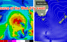
There are numerous regions that have already developed, are developing or are yet-to develop, all of which will contribute energy over the coming days.
/reports/forecaster-notes/south-east-queensland-northern-new-south-wales/2015/10/30/average-weekend
thermalben
Friday, 30 October 2015
Not a great weekend for waves with mainly small southerly swells expected to become wind affected from the north.
/reports/forecaster-notes/south-east-queensland-northern-new-south-wales/2015/10/28/small
thermalben
Wednesday, 28 October 2015
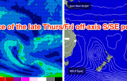
As such the small reinforcing pulse expected later Thursday and into Friday will be a little smaller in size, and probably best suited to northern locations open to south swell.
/reports/forecaster-notes/south-east-queensland-northern-new-south-wales/2015/10/26/nothing-special
thermalben
Monday, 26 October 2015
You’ll be well advised to watch the surface obs in northern NSW on Tuesday, especially if you’re near the Gold Coast.
/reports/forecaster-notes/south-east-queensland-northern-new-south-wales/2015/10/23/average-weekend
thermalben
Friday, 23 October 2015
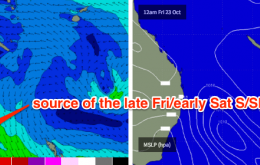
The fetch trailing today’s change looks pretty impressive on paper, however there is one key characteristic that will significantly limit surf potential. That is: the system is moving eastwards, perpendicular to our swell window.
/reports/forecaster-notes/south-east-queensland-northern-new-south-wales/2015/10/21/terrible-winds
thermalben
Wednesday, 21 October 2015
Generally looks like a write-off on Thursday.


