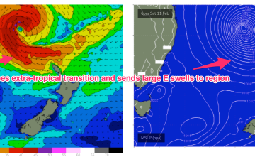
Over the next couple of days, TC Gabrielle will strengthen considerably and track south-east through the Coral Sea, enroute to the Northern Tasman.
Primary tabs
A convective cloud mass between the Solomon Islands and Vanuatu is expected to consolidate and deepen into a tropical cyclone by mid week, tracking back into the Coral Sea towards the tropical QLD coast before recurving and drifting Southwards through the Coral Sea and eventually towards the North Island. Swell from this system is expected across most of the Eastern Seaboard.
Overall I’m expecting fun though slow 2-3ft sets, however wind strengths around the trough are capable of generating bigger sets.
The unstable pattern continues with a small trough of low pressure lingering off the Central NSW Coast, linked to tropical cloud bands and moisture streaming in from the Northern Monsoon. This unstable, humid pattern lasts through the week before a winter-calibre mid-latitude low blasts a clearing W’ly flow across most of the region. Workable pulses of funky E swells maintain surfable conditions until the pattern change beginning Friday, extending into the weekend.
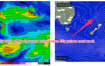
We’ve got a troughy, unstable synoptic pattern on our hands with monsoonal clouds and moisture extending from the Top End dawn to a trough off the NSW South Coast. Weak pressure gradients look to be with us for a few days as the trough lingers about the NSW Central/Mid North Coast, possibly forming a small low. Small pulses of E swell generated by fetches near the North Island supply some fun sized surf if you can work around the wind shifts expected this week.
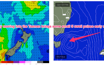
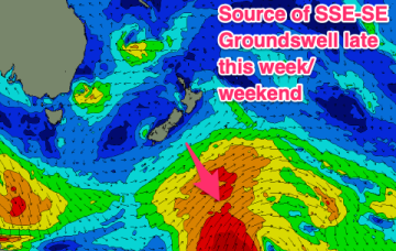
Weak high pressure is rapidly moving SE into the Tasman in the wake of yesterdays trough, which has stalled just north of the Hunter coast. E’ly fetches are still bubbling away near the North Island with more small E quadrant swell expected over the short/medium term. A long range, rare SSE-SE groundswell is just starting to show on Tasmanian buoys.
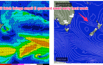
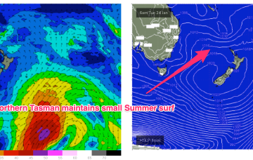
The synoptic pattern over and surrounding Australia still has a clear La Niña signature with troughy low pressure areas in the Tasman Sea and an active monsoon trough across Northern Australia. High pressure on the other side of New Zealand is cradling areas of low pressure and maintaining a small, fun E swell signal.
A troughy pattern exists through the Northern Tasman down to the South Coast with the remnants of TC 10P (named by JTWC but remained a cyclone for less than a day) drifting in a SW direction from out near New Caledonia. A small low pressure cell near the South Coast is slowly drifting south leaving a variable flow in it’s wake across the f/cast region.
No great change to the weekend f/cast. The remnants of yesterdays troughy change are now lingering off the NSW North Coast and a weak high pressure ridge is maintaining a soft but persistent onshore flow along the Eastern Seaboard. Activity in the tropics has been intense but short-lived with TC Irene forming between New Caledonia and Vanuatu, now downgraded back to sub-tropical storm status and racing away to the SE (the grave-yard) without being a significant swell producer for the East Coast.
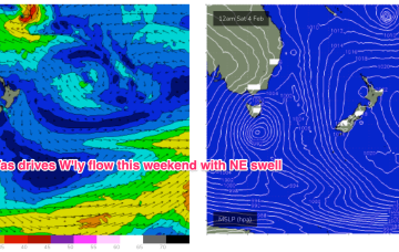
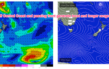
Weak high pressure sits in the Tasman now, directing freshening NE winds across the Central/Southern NSW Coast as a trough and front approach from the W and SW. The trough will bring a robust S’ly change to the NSW Coast through Thurs, extending up into the sub-tropics during Fri. S’ly winds and swell quickly build in the wake of the trough.


