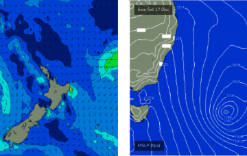
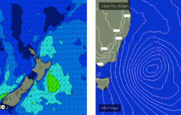
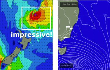
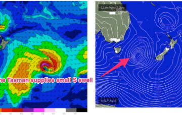
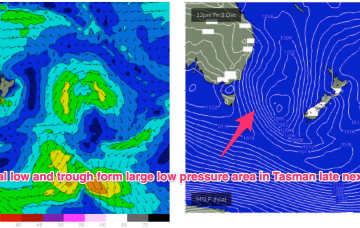
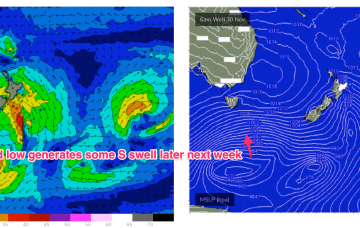
A reintensification of the Tasman Low on Saturday and Sunday - further east, near New Zealand - will generate a renewal of strong S/SE thru SE swell for Monday.
Primary tabs
That's right, we're looking at a week of waves from a single swell source.
The next round of swell will be acute from the south, sourced from W/SW gales exiting eastern Bass Strait from this evening onwards, in associated with the same change that rocketed across the coast this afternoon.
The real juice is lining up from the E/NE later next week.
No major changes to the forecast for the rest of the week, if anything an upgrade in size for the next south swell.
This change will be linked in with a low off the eastern Tasmanian coast, and gale force S/SW winds will develop through the swell window, generating a decent southerly swell for Wednesday
A slow moving low pressure system is currently off the QLD coast generating plenty of size for the subtropics. Windspeeds along the southern flank are just a notch higher than modelled on Wed so we’ll see a corresponding uptick in size across the f/cast region as swell radiates away from the source fetch.
Small swells and onshore winds into the weekend with some potential for juicier surf later next week
We are seeing the “schizoid” pattern now develop whereby a monsoonal trough is splitting off a low pressure trough along the CQ coast, supported by a high pressure belt from the Bight to the Tasman Sea, while fronts and a parent low are entering the lower Tasman. That is seeing a regime where both S swells and a developing E’ly swell event are both in play across most of the Eastern Seaboard.
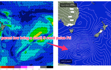
We’ve got an interesting looking pattern as we transition into Summer, with both active frontal systems transiting below the continent and a precursor monsoonal trough across the top end of Australia. A front pushing into the Tasman Sea and a deeper parent low bring S swell pulses this week while a trough of low pressure is expected to hive off the precursor monsoon trough mid week and sit in the Coral Sea later this week, bringing E swell for the Eastern Seaboard- initially to the sub-tropics and then spreading down to temperate NSW over the weekend at reduced levels.
By Wed we’ll see a pattern change as a strong high pressure belt straddles Tasmania and we start to see the influence of a trough associated with the monsoon off the QLD Coast.

