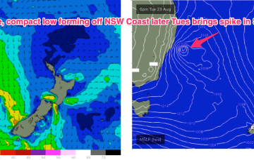
Synoptic charts this week look typical of a seasonal transition with mobile high pressure up at sub-tropical latitudes and a strong front poised to sweep into the Tasman with a robust low forming on the front line before rapidly shifting eastwards. Behind that typical seasonal pattern lurks signs of La Niña with a persistent trough line in the Coral Sea and a very strong high expected to track through the Southern Bight later this week.
Primary tabs
Things just got super complex for next week, dammit.
All looking pretty fun to finish the rest of the week with light winds under a dominant high pressure system, and a building swell from the eastern quadrant.
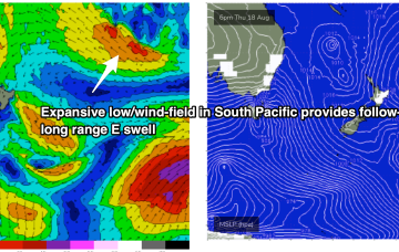
A deep low just to the East of Tasmania is now slowly weakening and moving away, maintaining a westerly flow across the region. A trough line linked to the low extends from the Tasman Sea up into the Coral Sea past New Caledonia and over the next few days this trough deepens as it slowly moves East, activating an incredibly wide fetch of E to NE winds infeeding into it.
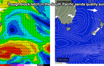
We still have the same building blocks in place for next week but the timing has been pushed back and the mix has been altered as E swell dominates from the “trough block” and S swell fades in importance.
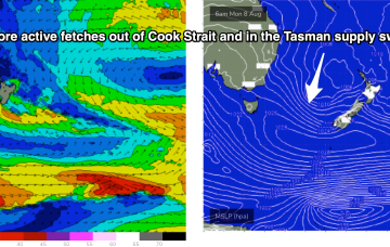
The multiple fetches coming off a Tasman low near New Zealand anchored by a high just east of Tasmania are now starting to wane. Current ASCAT (satellite windspeed) passes show a weakening fetch of SE winds in the Central/Northern Tasman and a thin fetch of strong winds out of Cook Strait. That will lead to a slow easing trend through tomorrow, accelerating into Fri and the start of the week-end.
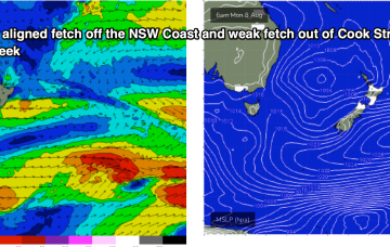
The building blocks are now in place for an active week of surf from the SE. A complex, multi-centred low is stationed over New Zealand with a strong (1029hPa) high located equidistant between Tasmania and the South Island offering excellent cradling support for the low.
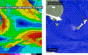
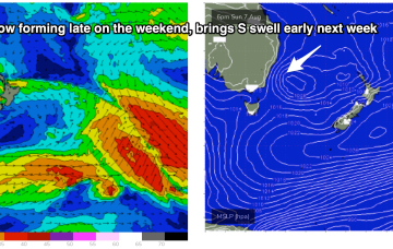
Surf prospects are definitely looking juicier for next week with a much more substantial fetch of S-SE winds set up on the Eastern side of the Tasman Sea as the decaying low reforms near New Zealand, aiming up several useful fetches back to the East Coast.
Our Tasman Sea and Coral Sea swell windows remain very subdued as we move through the week. A monster, complex low system is slowly moving south of the Bight, expected to decay as it enters the Tasman Sea over the weekend.
We’ve finally come to a low spot in the current La Niña phase we are in with energy being dialled right back this week. The high pressure belt is moving at a more typical northerly latitude over interior Australia and with weaker, more mobile high pressure moving over the interior and into the Tasman, we are looking at a period of N’ly biased winds with W’ly oriented fronts being quickly shunted across the Tasman.

