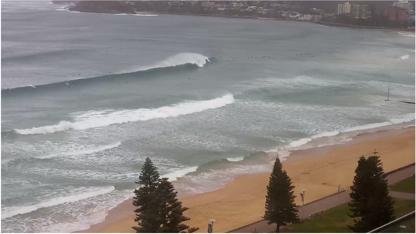
Complex but ultimately rewarding surf outlook
Sydney Hunter Illawarra Surf Forecast by Ben Matson (issued Fri 19th Aug)
Forecast Summary (tl;dr)
- Solid east swell Sat, easing Sun/Mon
- Decent S'ly swell in the water Sun too
- Great conditions foer the most part, except early Sunday where there's a risk of a lingering S'ly
- Another E'ly groundswell late Tues/Wed
- Chance for a low off the cost Tues/Wed, with associated S'ly swell
Recap
Building E’ly swells over the last few days, pushing 4-5ft today, generally clean with light winds Thursday and a fresh NW tending W’ly breeze today (brief N’lies early). A S/SW change is running a few hours late, it arrived at Kiama at 1:30 and Sydney’s Eastern Beaches around 3:30pm, and should be north of the harbour by the time this forecast is published.

This weekend (Aug 20-21)
No changes to the weekend outlook.
A small south swell will fill in tomorrow but it’ll pale in significance to the continuing E’ly groundswell, which should manage a similar size as per today.
In fact, swell periods are expected to draw out a little more with the arrival of a secondary pulse but it’s difficult to anticipate much more size than today’s inconsistent 4-5ft sets. And it’ll be lully at times too, though clean with offshore winds as today’s change pushes east into the Tasman Sea and winds veer W’ly as another front rears up from the south.
This next change will deliver gusty overnight winds on Saturday, but again, they’ll ease rapidly though Sunday morning and become light offshore during the day - but there is a chance that some exposed beaches will feel lingering effects through the early morning.
We’ll see a combination of southerly and easterly swells to 3-4ft, so there’ll be options through the day but don’t get too excited about the early session.
Next week (Aug 22 onwards)
Things just got super complex for next week, dammit.
First up: Monday will see easing E’ly swells from the weekend, with a trace of leftover south swell. It’ll be clean with freshening NW winds. Size probably around the 2-3ft+ mark, becoming smaller through the day, and less consistent than the weekend too.
On Tuesday, early offshores are now expected to give way to a gusty S/SW change sweeping up the South Coast from early on, probably arriving in Sydney before lunchtime.
Although we’ll see a building southerly swell in its wake - which could become sizeable (albeit briefly) depending on whether a surface low forms along the trough line - the main issue here is the funky wind outlook which will spoil the arrival of an unrelated, already-generated E’ly groundswell from the South Pacific.
This swell is expected to arrive towards the afternoon and should offer 3-4ft sets at exposed beaches through into Wednesday, maybe even some bigger bombs (swell periods are expected to be quite strong, near 14 seconds; uncommon from this direction). It's more efficiently aimed towards Northern NSW though, so I'm keeping my size expectations in check. And it'll be very inconsistent too.
Anyway, it’s difficult to have confidence in the mid-week surf outlook due to the tricky wind situation. Monday will have more clarity on this.
Current guidance suggests the local low pressure system probably won’t last long (which reduces confidence for any major size) so the second half of the week will probably see a combination of easing east swells and fresh south swells from a new frontal progression through the Tasman Sea.
All in all, a lot to keep a watch on.
Have a great weekend!


Comments
Great surf once the swell arrived and cleaned up today. A pumping arvo!
Great surf indeed! I was going to take the whole of today off, but could only manage the late afternoon, which worked out perfectly. Tomorrow is looking unreal. Hope you get a few crew.