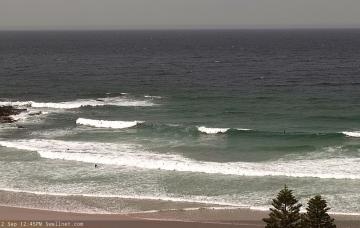
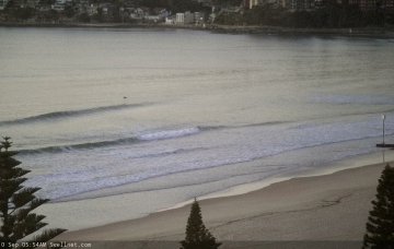
It doesn’t get much more complex than what we have in front of us right now. We've got a wide range of swells and possible an East Coast Low forming later in the week.
Primary tabs
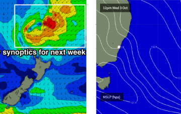
The synoptic are really busy for next week, and we have a wide variety of tricky swell sources on the way. In fact, most of the likely energy we’ll see will be generated from distant sources off the usual charts.
This swell was generated by an impressive polar low that pushed towards New Zealand late Monday and through Tuesday.
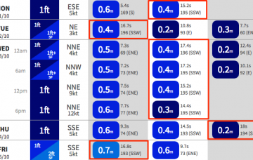
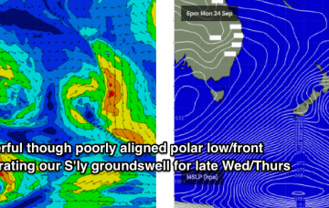
We’ve got a series of overlapping southerly swells due over the coming days, generated by strong, though poorly aligned frontal activity through the Southern Tasman Sea.
We’ve got a tricky weekend ahead, though there is plenty of potential.
While this is going on, the LWT will amplify south of Tasmania, focusing a strong polar front through our premium south swell window from Monday into Tuesday, generating large long period energy for the middle of next week. More in the Forecaster Notes.
Around the middle of the day (or possibly earlier) the leading edge of a long range, long period southerly swell will push up into the region, generated by an intense polar low sliding well south of SA, Victoria and Tasmania on Thursday.
It’s quite a benign pattern right now with nothing of any great interest standing up in the charts. There are some windows of opportunity though.
A trough sliding up the coast this afternoon is a bit of an annoyance. It’s both disrupting the northerly fetch generating our local swell (which will lead to a drop in size through Thursday and Friday), and is also steering the Southern Ocean storm track away from our south swell window. It’s also not bringing any local southerly swell either.
Unfortunately, the synoptic change that brought this initial swell forward has had a negative impact on the short term outlook, as it’s steered some of the trailing systems away from our swell window.

