/reports/forecaster-notes/sydney-hunter-illawarra/2018/08/15/southerly-swell-ahoy
thermalben
Wednesday, 15 August 2018
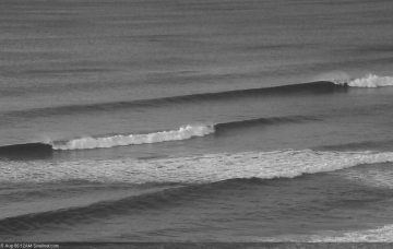
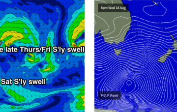
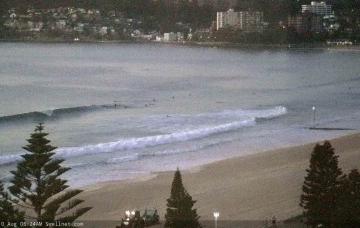
A vigorous stream of fronts are crossing the SE corner of the country, and they'll be the source of persistent south swells throughout the next few days.
/reports/forecaster-notes/sydney-hunter-illawarra/2018/08/13/endless-nameless-south-swells
thermalben
Monday, 13 August 2018
We’re back to an extended southerly swell regime across Southern NSW.
/reports/forecaster-notes/sydney-hunter-illawarra/2018/08/10/wide-range-swells-ahead-though-nothing
thermalben
Friday, 10 August 2018
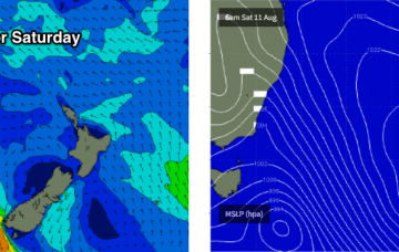
Looks like a tricky Saturday of waves.
/reports/forecaster-notes/sydney-hunter-illawarra/2018/08/08/war-waist-high-waves
thermalben
Wednesday, 8 August 2018
However, we have a slightly better swell source for the same period, and with the direction holding from the E/NE it’ll provide a more uniform size distribution across the region.
/reports/forecaster-notes/sydney-hunter-illawarra/2018/08/06/another-lengthy-period-flukey-swells
thermalben
Monday, 6 August 2018
We've got another week of flukey swell sources ahead.
/reports/forecaster-notes/sydney-hunter-illawarra/2018/08/03/nothing-special-short-term-small-swell
thermalben
Friday, 3 August 2018
We’ve got an active phase of the Long Wave Trough on approach. Unfortunately, it’s expected to peak too far to the west, which will steer Southern Ocean swell generating systems away from our southern swell window.
/reports/forecaster-notes/sydney-hunter-illawarra/2018/08/01/small-tricky-south-swells-few-days-then
thermalben
Wednesday, 1 August 2018
The final low/front this current series pushed through eastern Bass Strait this morning. It’s still not in an ideal region for swell generation but it will maintain small southerly swells through the next few days.
/reports/forecaster-notes/sydney-hunter-illawarra/2018/07/30/small-flukey-south-swells-week
thermalben
Monday, 30 July 2018
Check out Hogan Island, immediately E/SE of Wilsons Promontory. Overnight, westerly winds averaged 61kts, with maximum wind gusts reaching 81kts.
/reports/forecaster-notes/sydney-hunter-illawarra/2018/07/27/tiny-weekend-ahead-then-sustained-run
thermalben
Friday, 27 July 2018
We’ve got a meagre weekend of waves ahead.
/reports/forecaster-notes/sydney-hunter-illawarra/2018/07/25/lengthy-period-small-surf-wth-brief
thermalben
Wednesday, 25 July 2018
The current SE swell is easing across our coast now, and will be all but gone by Thursday.

