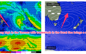
A good coverage of strong breezes in the Coral Sea has built a handy tradewind swell, biggest in SEQLD and favouring the Points.
Primary tabs
Leftover S/SE-SE swell from the last stages of the fetch as it lingered in the Eastern Tasman abutting New Zealand should hold some 3ft sets through most of the day, albeit slow and inconsistent. Mixed in will be an inconsistent signal of E swell, not offering more than the occasional 2-3ft set.
The strong reinforcing cold front is now almost across the Tasman with a large (1031hPa) high moving across from the Bight and already setting up a ridge along the QLD Coast. High pressure moves into the Tasman as we end the week with a dominant role into next week.
A 996 hPa low just off the coast and a 1034 hPa high in the Bight is creating a very tight pressure gradient with subsequent severe gales and an L-XL S swell event. The primary focus of this swell is temperate NSW inside the Hunter curve, with other areas seeing much less swell.
By Sunday we’ll see a deepening angled trough in the Tasman Sea with a low expected to form in the trough NE of Tasmania off the Gippsland Coast.
A much stronger cold outbreak looks poised to spawn a major Tasman Low Sun/Mon with the seasons first serious S swell expected.
Low pressure troughs off the NSW and SEQLD coast combined with high pressure over the interior and frontal activity to the south are driving a W’ly flow across the Eastern Seaboard, perfectly timed for a quality E’ly groundswell. We’ll see a slow easing of this swell event over the coming days with all day offshores expected.
No shortage of east swell this weekend, with the low in the northern Tasman Sea generating some impressive energy that'll build through Saturday towards a peak early Sunday.
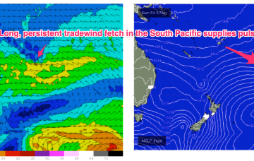
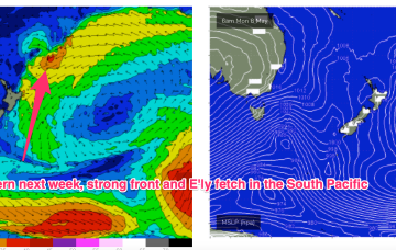
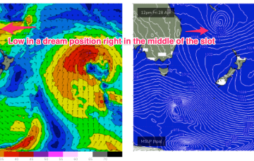
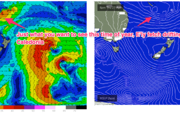
A broad trough of low pressure is expected to bud a surface low near New Caledonia over the short term, generating more quality E-E/NE swell as the low drifts through the South Pacific slot and into the Tasman.
The major swell generator will a broad fetch of SE-E/SE winds in the Coral Sea/Northern Tasman which will be enhanced later in the week as a broad tropical low tracks southwards from New Caledonia and into the wide open Eastern swell window. This will keep the sub-tropical Points pumping with a rebuild in quality E’ly groundswell later this week and into the weekend.


