E'ly swell keeps on keeping on over the weekend and into next week, with light winds ahead

freeride76

E'ly swell keeps on keeping on over the weekend and into next week, with light winds ahead

freeride76

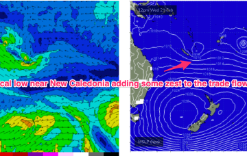
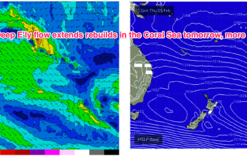
High pressure belt remains strong with cells lined up to enter the Tasman. A monsoonal low in the Gulf of Carpenteria is generating a long cloud band down the east coast. A long, broad E’ly tradewind fetch extends from the Coral Sea into the South Pacific with the tail of the fetch in Tahitian longitudes. 

Plenty of fun over the weekend with more beachies on tap next week

freeride76

Plenty of fun over the weekend with more beachies on tap next week

freeride76

High pressure belt remains strong with cells lined up to enter the Tasman. A monsoonal low in the Gulf of Carpenteria is generating a long cloud band down the east coast. A long, broad E’ly tradewind fetch extends from the Coral Sea into the South Pacific with the tail of the fetch in Tahitian longitudes. 

More surf on tap bigger into the weekend.

freeride76

More surf on tap bigger into the weekend.

freeride76

Multiple cells of reinforcing high pressure then one by one move into the Tasman, maintaining a weak ridge up the NSW Coast and a deep E’ly flow through the South Pacific and Eastern Coral Sea, with resulting E’ly swells favouring the sub-tropics for size, with a rebuild in size expected later this week.

Fun mixed bag ahead with mostly offshore winds

freeride76

Fun mixed bag ahead with mostly offshore winds

freeride76

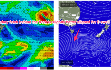
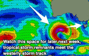
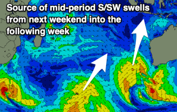
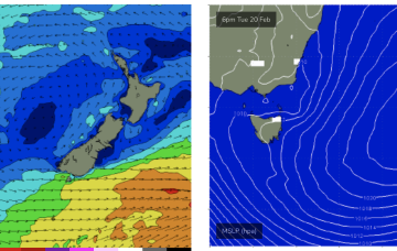
Multiple cells of reinforcing high pressure then one by one move into the Tasman, maintaining a weak ridge up the NSW Coast and a deep E’ly flow through the South Pacific and Eastern Coral Sea, with resulting E’ly swells favouring the sub-tropics for size with some small E/NE swell filtering down to NETas. More cold fronts and small S swells are also on the radar.