A tricky period with a good swell spoilt by onshore winds tomorrow, improving slowly from Friday but with smaller, weaker S/SW swells.
Primary tabs
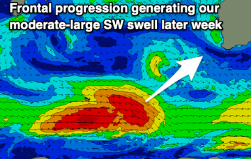
Easing surf tomorrow with clean conditions through the morning ahead of developing onshore winds and a moderate-large SW swell later week. Conditions will improve slowly on the weekend.
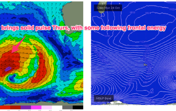
This will be generated by a polar low transiting past Heard Island staying below 50S as it tracks through the Southern Ocean Sat/Sun, weakening through Mon under current modelling.
A fun new swell with offshore winds is due tomorrow, poor Friday but then improving on the weekend with a new swell for Saturday morning.
Easing surf over the coming days ahead of some new SW groundswell energy through the end of the week. Slowly improving winds before going onshore Friday.
Get in early Sat as SE winds blow as an embedded low drifts down from the Central West. Once that system moves E we’ll see fresh S’ly winds set in.
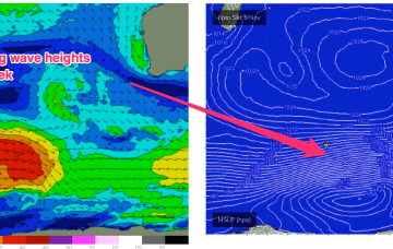
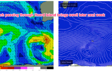
A strong disturbance near Heard Island Sun/Mon generates seas to 30ft before being shunted southwards as it passes 90E. This will generate a series of SW swell pulses beginning Tues.
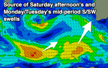
The next swell is already en route, generated by an intense polar low that had areas of storm force winds embedded in a large gale force fetch as it passed through Heard Island Sun/Mon.
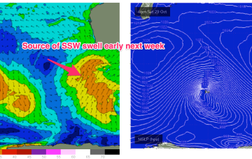
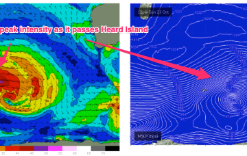
Late Wed will see the next increase in swell and the system responsible, a polar low which intensifies as it passes Heard Island Sun, now looks stronger and less zonal, with a swathe of 30ft seas sending groundswell to WA.
A long, zonal fetch of gales reaches peak strength as it passes Heard Island Sun/Mon and this should generate a mid-sized, mid period SW swell building in Thurs into the 4-5ft range in the Margarets region, smaller 2-3ft in Mandurah, 2ft in Perth, and easing through Fri.

