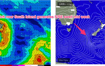
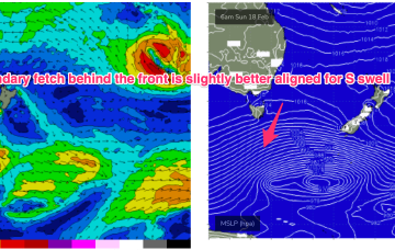
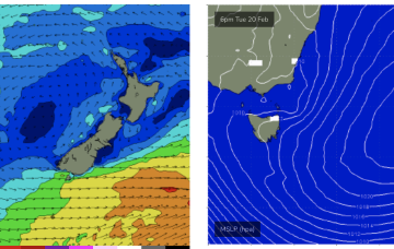
Current ASCAT (satellite windspeed) passes show a long fetch of severe gales in the southern swell window and wave buoys are all in an aggressive upwards curve as strong S swells propagate along the Southern NSW Coastline after making landfall in Tasmania.
Primary tabs
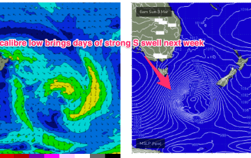
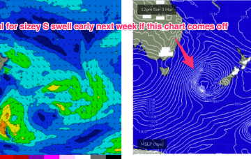
Models are holding steady on a winter calibre low tracking well to the south- south-east of Tasmania during Sun and traversing the far Southern Tasman through Mon.
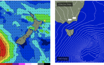
Models are in good agreement now for strong gales to push NE of Tas as a deep low transits the Tasman Sun/Mon into an already active sea state.
The high cell is weak but we’re looking at a fun end to Summer, with some mid week NE windswell for Tasmania and small background E swells for the sub-tropics. After that quiet spell extends into the start of Autumn a stronger frontal intrusion into the Tasman looks likely next week with some robust S swell accompanying it.
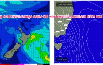
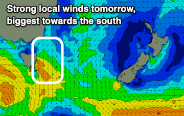
The next surfable day is Wed as high pressure moves into the Tasman and a strong N’ly flow forms along the NSW South Coast down to Bass Strait.
The coming days looks fun working the local winds and varying swells.
There are no standout days with grovel options for the keen.
A long, broad E’ly tradewind fetch extends from the Coral Sea into the South Pacific with the tail of the fetch in Tahitian longitudes. To the south a complex low and front is expected to pass under the state over the weekend.
Multiple cells of reinforcing high pressure then one by one move into the Tasman, maintaining a weak ridge up the NSW Coast and a deep E’ly flow through the South Pacific and Eastern Coral Sea, with resulting E’ly swells favouring the sub-tropics for size with some small E/NE swell filtering down to NETas. More cold fronts and small S swells are also on the radar.
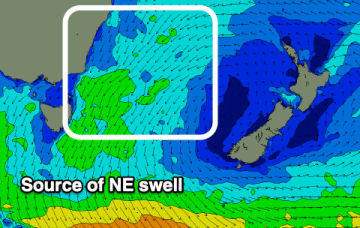
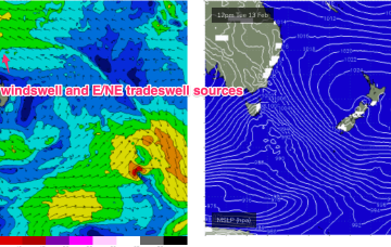
Large high in the Tasman directing plenty of E’ly-SE’ly tradewinds through the Coral Sea and South Pacific slot and a strong N’ly flow off the South Coast, generating NE windswells for NETas.

