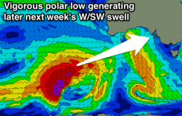
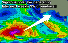
Weak W/SW swell for the Mid tomorrow with S/SE winds, onshore down South. Cleaner and peaky South Coast Sunday morning with easing surf, then much cleaner Monday and Tuesday. Strong W/SW swell later next week with S/SE winds.
Primary tabs
Easing SW groundswell with offshore winds for the South Coast tomorrow, average and onshore Friday. Clean small fun Mid Coast waves Saturday, better Sunday down South. Good waves next week with decent winds and decent swells.
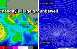
Building and strengthening W/SW swell energy tomorrow, with a large powerful SW groundswell peaking Wednesday with good winds. Easing Thursday under freshening offshores for the South Coast. Average from Friday.
At this stage we should see solid 6-8ft surf across exposed parts of the South Coast on Wednesday, whilst he Mid Coast is looking at tidally influenced 2-3ft surf throughout the day (smaller on the outgoing phase).
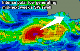
Easing S/SW swell over the coming days with E/NE winds tomorrow and better offshore breezes Friday. Small clean, inconsistent and windy Saturday, with some new W/SW swell for Sunday afternoon on the Mid. Large SW swell for mid-next week.
W/SW swell for tomorrow morning with stronger S/SW swell for the afternoon down South, easing Wednesday with less than ideal winds. Smaller into Thursday and Friday with improving conditions. Average small weekend, better swells next week.
New SW swell for tomorrow with E/NE-NE winds across the South Coast during the morning. Cleaner but small and fading Sunday morning. Stormy Mid Coast waves Monday and Tuesday morning, with less than ideal conditions down South. Better with a S/SW swell Wednesday and Thursday.
Good new SW groundswell tomorrow with offshore winds down South, easing Friday with a morning W/NW'ly. New swell Saturday with an E/NE breeze, cleaner Sunday but small and easing. Large swell for early next week.
Stormy waves continuing on the Mid tomorrow, moderating Wednesday and smaller but bumpy Thursday. Good W/SW swells for the South Coast, cleanest from Wednesday as winds swing more offshore.
Clean easing S/SW swell tomorrow down South, with Sunday becoming small to tiny. Late increase in windswell across the Mid Sunday ahead of a large stormy swell Monday, cleaner and better in protected spots down South. Good South Coast waves for the rest of the week, improving on the Mid from Wednesday

