Stacks of surf ahead, but with initially dicey conditions for both coasts. More in the Forecaster Notes.
Primary tabs
The Cape du Couedic wave buoy recorded some impressive wave heights today, up in the size range we see perhaps a couple of times per year (Hsig 7.5m, Hmax 13m). More in the Forecaster Notes.
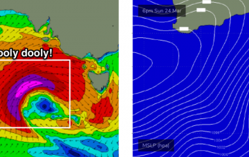
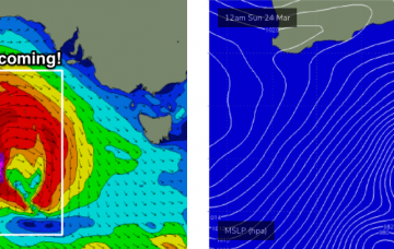
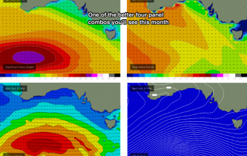
With the low pressure system sitting west of Tasmania, we’ll also see a very large increase in stormy surf on Monday. More in the Forecaster Notes.
A series of vigorous weather systems approaching the state this weekend are not expected to impact the coast until Monday. More in the Forecaster Notes.
We’re under the influence of a synoptic blocking pattern in the form of a stationary belt of high pressure across the Southern Ocean, stretching from underneath Western Australia through South Australia to a position below Tasmania.
The weekend’s not looking at delivering anything amazing in the surf department.
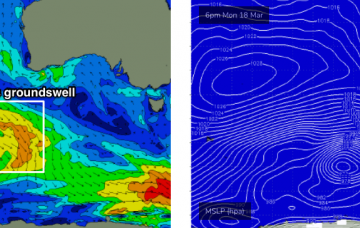
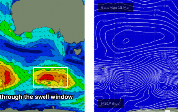
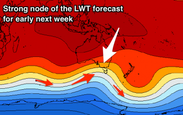
A seemingly endless supply of reasonably strong Southern Ocean lows will move track parallel to the ice shelf all week, supplying pulsey groundswell for our region throughout the medium to longer term period.
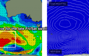
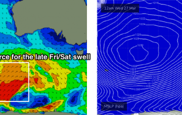
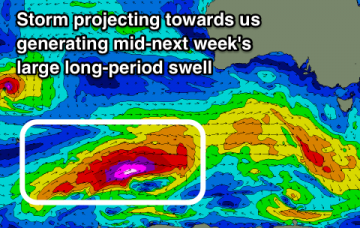
I really like the look of this system, its position relative to the coast is in the ‘goldilocks’ zone for the South Coast at least, reaching peak intensity between Margaret River and Adelaide longitudes, beginning to weaken as it approaches Victorian latitudes.
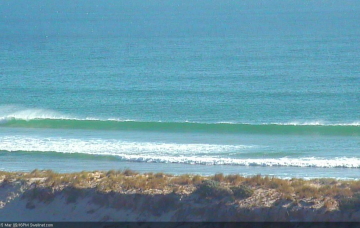
Good winds and a fun S/SW groundswell for the weekend with a large swell for next week with dicey winds for the South Coast.
Large long-period swells due through the coming period with favourable though varying winds. Largest next week.

