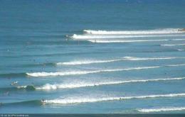
If you’ve got something other than surfing to do this weekend, give it a nudge. It’s been a very generous month of waves so far anyway.
Primary tabs
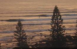
With favourably light winds it’ll be well worth capitalising on a great day of surf for Australia Day.
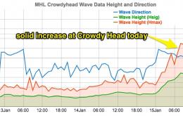
Probably the most difficult thing about long range east swells is that we have no way of monitoring their status.
Yes, the forecast outlook is very complex. Let’s get stuck right into it.
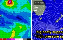
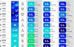
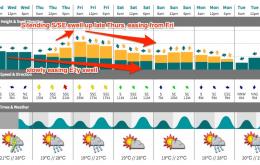
Thursday will herald the leading edge of a long range E’ly swell that’s expected to dominate our region for some time
We have a relatively linear outlook for the weekend.
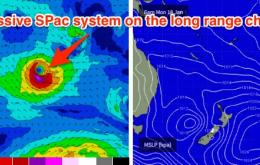
Thursday is also expected to see a new, building long period S/SE swell all day, generated by an intense polar low that formed off the ice shelf over the weekend. But, the erratic swell source (possibly contaminated by Antartican ice floes) and enormous travel distance guarantees a couple of things: very inconsistent set waves, and low confidence for any notable surf.
We have two new groundswells on the way, which should provide good waves at some selected locations mid-week.
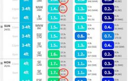
A pretty easy description for the weekend - steadily easing all day Saturday, then up strongly on Sunday from the south, but only favouring Northern NSW, specifically south facing beaches.
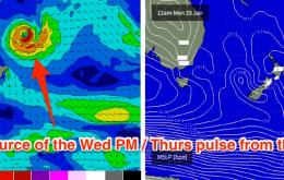
There’s also been some interesting developments with TC Ula.

