/reports/forecaster-notes/south-east-queensland-northern-new-south-wales/2018/01/15/large-windy-south
thermalben
Monday, 15 January 2018
My pick of the week is Thursday and Friday as we’ll be on the backside of the swell event - when hopefully a great many paddling arms will be losing their strength and endurance.
/reports/forecaster-notes/south-east-queensland-northern-new-south-wales/2018/01/12/forget-sat-fun
thermalben
Friday, 12 January 2018
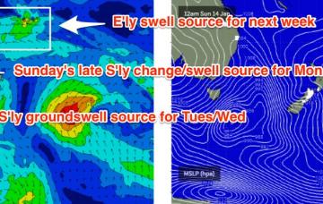
In fact, we’re looking at around five or six individual swell sources all related to the same broader parent system. As such it’s hard to pin down the precise trends as we’ll see many overlapping swell trains throughout the course of the week.
/reports/forecaster-notes/south-east-queensland-northern-new-south-wales/2018/01/10/ordinary-days
thermalben
Wednesday, 10 January 2018
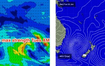
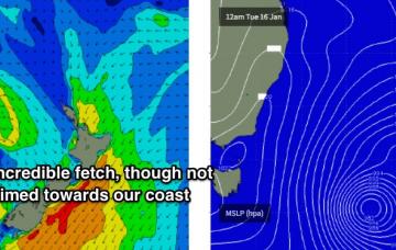
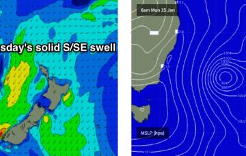
A Tasman Low is expected to develop in the central Tasman Sea on Sunday, reaching a peak through Monday. Fortunately, compared to most systems this one looks very good for our region.
/reports/forecaster-notes/south-east-queensland-northern-new-south-wales/2018/01/08/northerlies
thermalben
Monday, 8 January 2018
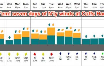
Wow, we've got another terrible week of surf ahead.
/reports/forecaster-notes/south-east-queensland-northern-new-south-wales/2018/01/05/poor-surf
thermalben
Friday, 5 January 2018
Sunday is an interesting kettle of fish.
/reports/forecaster-notes/south-east-queensland-northern-new-south-wales/2018/01/03/small-small-small
thermalben
Wednesday, 3 January 2018
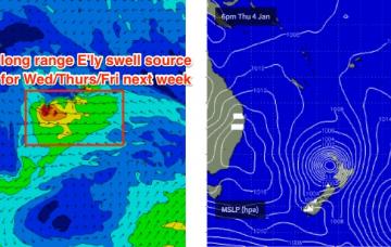
I’m not expecting much to finish the working week.
/reports/forecaster-notes/south-east-queensland-northern-new-south-wales/2018/01/01/minor-swells-rest
thermalben
Monday, 1 January 2018
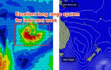
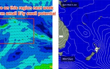
Next week has some potential.
/reports/forecaster-notes/south-east-queensland-northern-new-south-wales/2017/12/29/small-swell
thermalben
Friday, 29 December 2017
Sunday has some minor potential for SE Qld and Far Northern NSW.
/reports/forecaster-notes/south-east-queensland-northern-new-south-wales/2017/12/27/continuing-small
thermalben
Wednesday, 27 December 2017
Today’s E’ly swell will ease throughout Thursday and Friday.
/reports/forecaster-notes/south-east-queensland-northern-new-south-wales/2017/12/26/fun-mid-week
thermalben
Tuesday, 26 December 2017
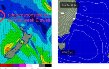
We’ve got a small increase in swell due for Northern NSW over the next few days.

