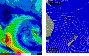
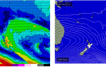
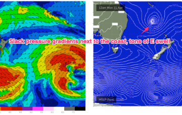
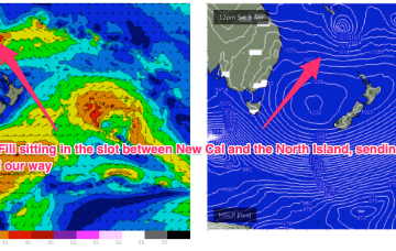
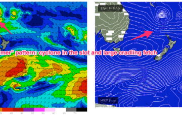
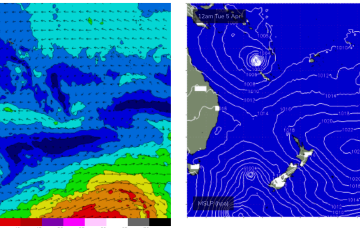
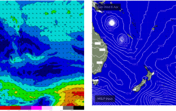
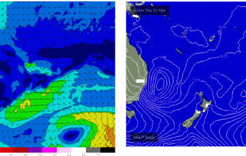
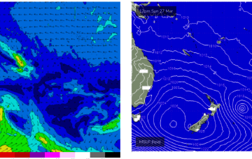
Tiny surf is now beginning to build, beginning a very active phase as a monster high (1037hPa) in the bight builds a firm ridge along the CQ coast.
Primary tabs
Just small waves over the last few days but the outlook is looking promising as a monster high starts to build a firm ridge along the CQ Coast over the next few days. This ridge is enhanced by an area of low pressure on the Cape York Peninsula.
Central QLD Forecaster Notes by Steve Shearer (issued on Fri 8th Apr)
This weekend and next week (Apr8-Apr 15)
Central QLD: Waves keep coming over the weekend and into next week
Waves have continued to pump along the Capricorn coast as TC Fili supplies plenty of swell.

Nice way to end the week
TC Fili’s initial WSW to SW movement generated a NE swell that is now supplying really fun surf in the 2-3ft range to the region and this is expected to continue through tomorrow.
A depression just to the North-West of New Caledonia now has a high chance of forming a tropical cyclone (Fili) with this system expected to supply some pulses of swell from the NE to E quadrant as it tracks into the Coral Sea.
Into next week and things get a bit more juicy. A high pressure ridge and weak but long tradewind fetch extends out through the Coral Sea towards New Caledonia later this weekend and into Mon.
All this is too far south and behind the curve of the QLD Coast and Fraser Island to produce any surf for the CQ region, so we’ll see the tiny surf that was on offer today contract back to near flatness for the rest of the week.
For the rest of the week, we’ll see a monster low in the Tasman Sea, but this will be well out of the CQ swell window, leading to tiny/flat surf and light winds for the rest of this week.
This ridge of high pressure builds a fetch of Tradewinds through the Coral Sea over the coming 24-48 hrs and while the troughiness off the NSW coast disrupts the tradewind flow it should be sufficient in width and strength to see 1ft surf build later Sat, building further Sun into the 1-2ft range.
High pressure is weak and mobile at the moment, restricting trade-wind flows in the Coral Sea.

