Expect a peak in size over the next 48hrs then a slow ease off through the rest of the week and into the weekend.
Primary tabs
An active monsoon trough with various low pressure centres is anchoring a trade-wind fetch through the Coral Sea and extending out into the South Pacific which will see plenty of surf in the CQ region.
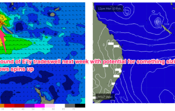
We’ll see E’ly tradeswells continue across CQ into and over the weekend and early next week at a minimum. More significant E’ly swells are still on the table but contingent on low pressure developments next week.
Model runs have been all over the place next week as they struggle to resolve an active monsoon trough which extends out from Northern Australia across the Coral Sea and into the South Pacific Island chains.
There’s no sign of any Tradewinds into and through next week with tiny/flat surf expected right into next weekend.
Not much on the horizon with weak pressure gradients and no tradewinds in the Coral Sea next week, a flat spell is expected.
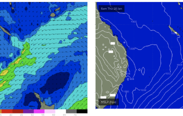
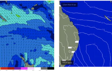
The current synoptic situation has a Groundhog Day feel to it, with another very weak high pressure cell in the Tasman (1019hPa), directing a mod SE’ly flow along the CQ coastline, with a weakening Tradewind flow in the Coral Sea contracting northwards.
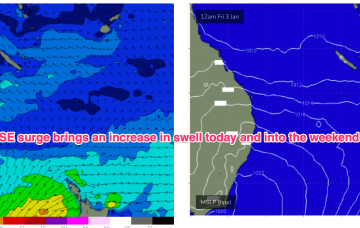
With high pressure moving NE into the Tasman we’ll see winds increase as a SE surge builds up the Fraser/Burnett coast.
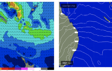
By the weekend we’ll see a new high pressure cell in the Tasman and a persistent E/SE trade flow developing off the top of the high.
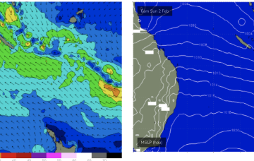
Trades looks to develop later in the weekend and early next week, although major models are still divergent over how strong they are. Under an optimistic scenario we should start to see small E’ly tradeswell build in this weekend and persist at low levels next week.

