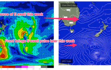
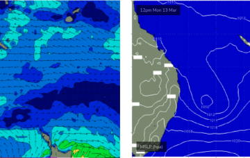
This will direct an E’ly fetch across a wide swathe of the Eastern seaboard from the sub-tropics down to the Sydney region. A small closed low forming in the trough then slowly retracts eastwards as we head into the Easter weekend. Winds are going to be a bit tricky but we’ll have plenty of E/SE-SE swell to play with this week as this fetch forms up.
Primary tabs
Eyes back to the E next week. The high in the Tasman and a blocking band of high pressure well to the south of the continent effectively annuls the southern swell window. With that shut down we’ll be looking to the East.
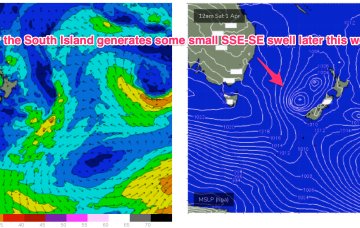
Still a complex, troughy pattern in play with a slow moving trough of low pressure drifting south off the Gippsland coast towards waters East of Tasmania. A front sweeping in behind the trough is bringing a clearing W’ly flow through temperate NSW today, reaching the sub-tropics tomorrow.
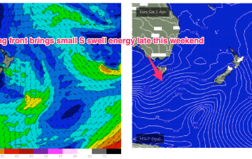
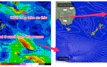
A small trough of low pressure off the Gippsland coast is replaced by another trough system later in the week. Far to the south of this hot, soupy mess a series of stronger polar lows are traversing the Far Southern Ocean sending small long period S swell trains our way.
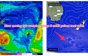
Long period S swells will be the dominant swell trains next week (for NENSW) as a complex deep low traverses the far southern Tasman Sea and becomes slow moving in New Zealand longitudes.
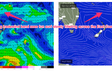
In the Coral Sea a monsoon trough remains active with a persistent but unspectacular trade-wind flow maintaining a small fun E swell signal north from Port Macquarie. The remnants of a low near the South Island are now dissipating after a final flare up yesterday.
Compared to Fridays notes the front/low in the Southern Tasman is a stronger system while the tradewind pattern is weaker and more disjointed. That will see S quadrant swells dominate through most of the week through temperate-sub-tropical NSW, with a smaller tradewind swell signal north of the border being the dominant swell train.
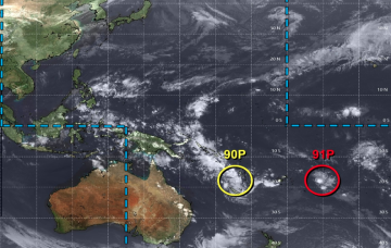
All eyes out to the Pacific swell window this week with a typical late Summer/early Autumn pattern setting up. Low pressure centres well to the East of Fiji (near American Samoa), west of Fiji and NW of New Caledonia will all chug away on a long tradewind belt setting up presently and enhanced by a dominant high pressure cell moving SE of Tasmania early next week.
Our eastern swell window remains the focus for the coming week.
Sunday has some promise for an easterly swell to fill in, sourced from two regions.

