Our current southerly change will clear to the north overnight, leaving most regions with light variable winds on Thursday. The only exception is the Hunter coast (north from Sydney). More in the Forecaster Notes.
Primary tabs
Peripheral swell sources are expected for the next few days. We've got plenty of surf later this week and into the weekend, and next week looks very interesting with a complex trough. More in the Forecaster Notes.
The models have had a pretty poor time over the last few days, and I reckon they’re missing yet another south swell due to push into the coast on Saturday. More in the Forecaster Notes.
Small surf will persist for the rest of the week, with variable conditions under a weak trough. More in the Forecaster Notes.
First glance of the swell charts doesn’t look terribly inspiring. But there are some waves on the way. More in the Forecaster Notes.
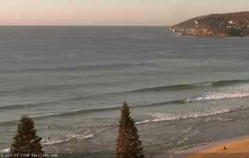
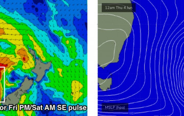
There’s another pulse of SE swell due to fill in from anytime about now onwards. More in the Forecaster Notes.
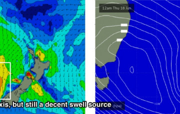
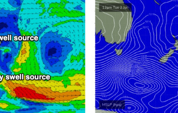
We’re at the cusp of the next phase of south swell, which will dominate the next few days. Sourced primarily from a strong front that pushed through the lower Tasman Sea today (originating form polar latitudes), we’ll then see secondary energy from a developing Tasman Low off New Zealand’s West Coast. More in the Forecaster Notes.
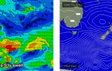
Tuesday's new S'ly swell will be the first in a series of south swells associated with an amplifying node of the Long Wave Trough over the eastern states, culminating in the development of a Tasman Low by Wednesday. More in the Forecaster Notes.
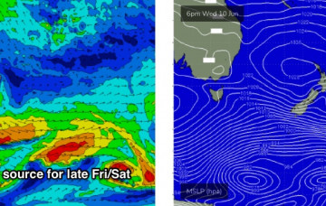
We’re looking at yet another strong, sizeable round of south swell next week, and there’ll be great surf persisting right through into next weekend too. More in the Forecaster Notes.
The Tasman Low is now much weaker, positioned off Far Northern NSW. Because it’s not generating any new energy for us, we will see a steady decline in wave heights over the coming days. But, the surf won’t go completely flat. More in the Forecaster Notes.

