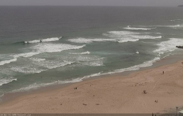
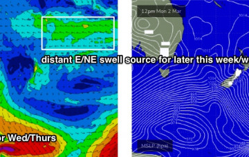
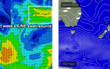
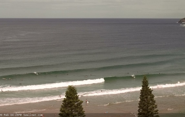
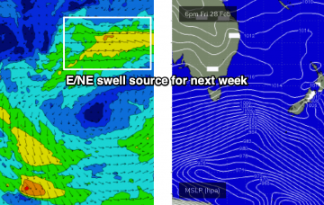
We’ve got a broad area of activity within our east and north-east swell window at the moment, mainly in association with TC Gretel, currently passing quickly through the Coral Sea enroute to the South Pacific. More in the Forecaster Notes.
Primary tabs
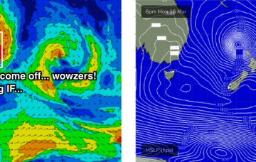
The outlook for next week has been quite up and down over the last few days, but we now appear to be consolidating towards a firm trend regarding the (yet to be named) tropical cyclone in the Coral Sea. more in the Forecaster Notes.
Jeez, next week is looking super complex. More in the Forecaster Notes.
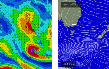
The remnants of ex-TC Esther spun up to the SW of New Zealand’s South Island over the weekend, forming a tight low with a decent fetch around it. More in the Forecaster Notes.
There’s been a significant upgrade for the first half of next week. More in the Forecaster Notes.
Unfortunately, local conditions won’t be very good on Thursday. But, there's still a good window worth capitalising on. More in the Forecaster Notes.
We’ve got stacks of south swell lining up for the rest of the week. More in the Forecaster Notes.
No shortage of swell sources lining up for the forecast period, across almost every part of our swell window. More in the Forecaster Notes.
Stacks of swell ahead as we enter a classic autumn synoptic pattern. More in the Forecaster Notes.
We’ve got a couple of swell sources for the next few days. Next week looks pretty exciting too. More in the Forecaster Notes.

