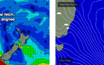
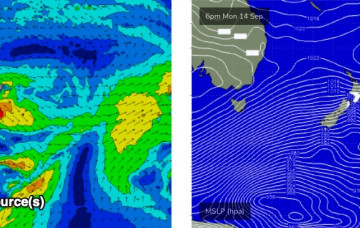
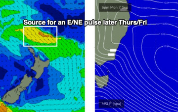
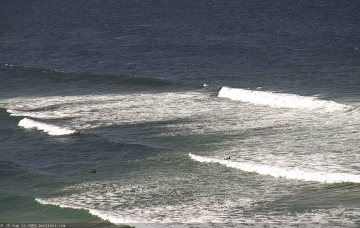
A broad polar low/front below the continent mid-week has generated a strong new southerly groundswell that will bend up and into the Southern NSW coast. More in the Forecaster Notes.
Primary tabs
Actually, we have four, almost five more days of flukey long period southerly swell on the way. More in the Forecaster Notes.
I’m still expecting three days of southerly swell activity, but I am being much more cautious in my expectations. More in the Forecaster Notes.
We’ve got a weekend of small peripheral swell sources. But, the outlook for most of next week revolves around a vigorous frontal progression through the Southern Ocean below Tasmania, and up into the lower Tasman Sea. More in the Forecaster Notes.
An approaching trough will freshen northerly winds about most coasts on Saturday, before easing and swinging light NW on Sunday. So, the second half of the weekend will by far have the best conditions. More in the Forecaster Notes.
Small surf will prevail for the short term, though it won’t become totally flat. And the the rest of the week looks interestingly complex. More in the Forecaster Notes.
With only peripheral activity across all of our swell windows (see below), we’re looking at a small weekend of waves. More in the Forecaster Notes.
It’s been interesting watching the evolution of the weather models over the last few days, regarding the weekend outlook. More in the Forecaster Notes.
There’s a decent south swell pushing up the South Coast. And the weekend outlook is rather tricky. More in the Forecaster Notes.
The front responsible for our current building south swell is already departing our swell window. More in the Forecaster Notes.

