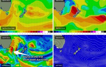
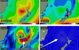
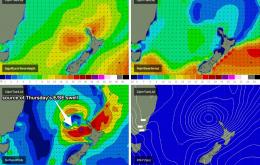
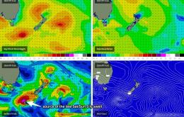
Today’s S/SE swell should just hold through into Thursday morning but is expected to trend downwards during the day.
Primary tabs
I’ve had a lot of fun analysing these complex systems in the Tasman over the last few weeks, but unfortunately our swell window has dried up and we’re looking at a lengthy period of small flukey swells, mainly from the southern quadrant.
Big and windy: that’s what this weekend has in store for us.
The most interesting aspect about Friday's outlook is the speed at which we’re likely to see wave heights ramp up across the coast.
Our current south swell will fade slowly from Tuesday onwards however we’ll see great conditions with generally light variable winds Tuesday freshening from the north-west, then west on Wednesday.
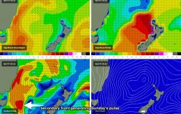
Both existing swells will ease further overnight, and we’ll be left with small peaky waves for Saturday with freshening W’ly winds ahead of a gusty S/SW change that’s expected to reach the South Coast around lunchtime and the Sydney, Hunter and Illawarra region late afternoon.
The leading edge of this swell is due to reach the coast this evening and by Thursday morning should be close to fifth gear in the surf zone.
We’ve got a cracking swell forecast ahead however we’ll kick off the next few days with a small supply of intermittent, background SE swells.
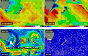
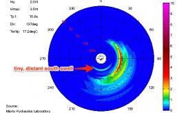
We’ve got a couple of remote sources of swell for the weekend, which should ensure small but fun, rideable waves at south facing beaches.
The rest of the week looks very good for East Coast surfers. Although wave heights will trend downwards, there are a couple of new sources of energy that will maintain plenty of size across the region.

