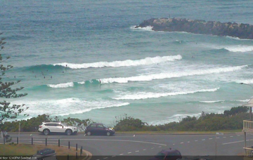
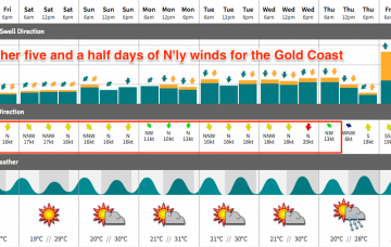
We’ve had an improvement in the outlook for the next few days.
Primary tabs
/reports/forecaster-notes/south-east-queensland-northern-new-south-wales/2018/11/14/nice-period-surf
thermalben
Wednesday, 14 November 2018
/reports/forecaster-notes/south-east-queensland-northern-new-south-wales/2018/11/12/building-trade
thermalben
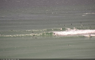
Monday, 12 November 2018
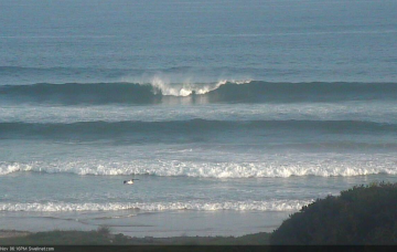
We’ve got building swells on the cards for the rest of the week, thanks to a slow moving Tasman high. The main issue we have this week are local winds.
/reports/forecaster-notes/south-east-queensland-northern-new-south-wales/2018/11/09/average-weekend
thermalben
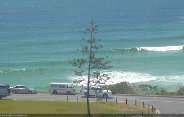
Friday, 9 November 2018
A deepening trough to our north-east is expected to spawn a possible tropical cyclone by mid-week (between Vanuatu and Fiji).
/reports/forecaster-notes/south-east-queensland-northern-new-south-wales/2018/11/07/punchy-swells
thermalben
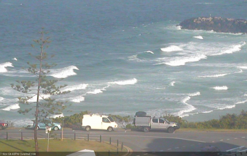
Wednesday, 7 November 2018
Two southerly changes are pushing up the NSW Coast. And it looks like we’ve got an extended period of E'ly swell on the cards as a blocking pattern sets up camp. More in the Forecaster Notes.
/reports/forecaster-notes/south-east-queensland-northern-new-south-wales/2018/11/05/slightly-better
thermalben
Monday, 5 November 2018
Strengthening N’ly winds are going to dominate the next few days.
/reports/forecaster-notes/south-east-queensland-northern-new-south-wales/2018/11/02/very-ordinary
thermalben
Friday, 2 November 2018
Can’t say I’m terribly enthusiastic about the weekend outlook, though there is potential for a few windows of opportunity.
/reports/forecaster-notes/south-east-queensland-northern-new-south-wales/2018/10/31/its-not-good
thermalben
Wednesday, 31 October 2018
Strengthening northerly winds are really going to create some problems.
/reports/forecaster-notes/south-east-queensland-northern-new-south-wales/2018/10/29/only-one
thermalben
Monday, 29 October 2018
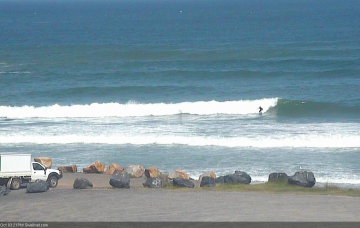
Wave heights are still strong though slowly easing across Southern NSW, so we can expect a similar (though delayed) trend in our neck of the woods. More in the Forecaster Notes.
/reports/forecaster-notes/south-east-queensland-northern-new-south-wales/2018/10/26/nothing-special
thermalben
Friday, 26 October 2018
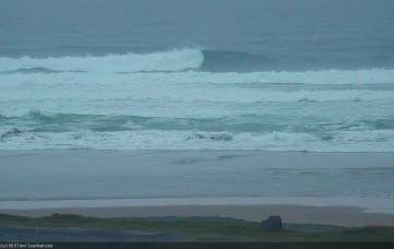
Sunday’s southerly change will be linked in with a reasonable low, and a series of secondary fronts trailing behind will also provide useful south swell through the first half of next week. More in the Forecaster Notes.
/reports/forecaster-notes/south-east-queensland-northern-new-south-wales/2018/10/24/plenty-surf-just
thermalben
Wednesday, 24 October 2018
Looks like a tricky weekend ahead with variable conditions ahead of a gusty southerly change on Sunday afternoon that’ll eventually generate a decent south swell for early next week.
