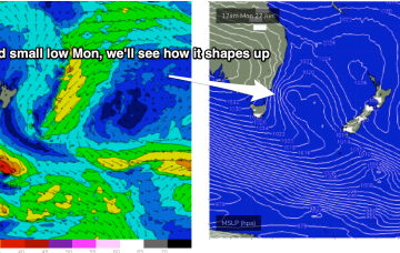
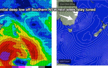
The remnants of the Tasman Low (ex ECL) are now drifting near the South Island, on top of a large high which is slowly moving out of the Tasman Sea. A high is approaching from the South Australian interior, with a trough expected to form off the coast later Tues and develop a broad, relatively weak low in the Central/Northern Tasman.
Primary tabs
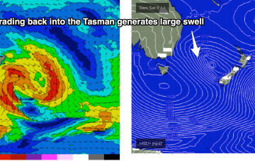
The main low is drifting towards the South Island and intensifying today, with gales to severe gales expected to retrograde NW back into the Tasman Sea.
A massive cloud-band enveloping most of the Eastern Seaboard, tied to a complex low pressure system in the Tasman, and strong high pressure system with both systems slow moving. Multiple trough lines also complicate the situation, leading to uncertain movements of the main low, and development of secondary low pressure centres, of which one is expected to form off the Mid North Coast today.
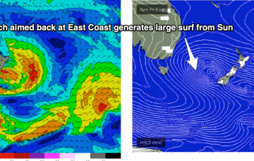
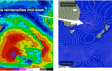
Tasman Sea is looking very, very spicy this week with our current low looking to meander N and E, then S and reintensify later in the week, spraying the East Coast with swell with more favourable conditions.
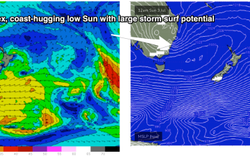
OK, here we go. We are starting to get some model agreement on a developing easterly trough low expected to form off the Sydney/Hunter coast through tomorrow. There’s still a degree of uncertainty as to the exact position of the low axis, which will make wind f/casts a bit rubbery and really, coming down to a game of kilometres.
Looks like a quiet end to the week, with some major model revisions over the last few days - certainly not wiping out the expected major swell event, just shunting it down the timeline a little.
A monster high moving well south of the Bight is expected to rapidly set up a strong ridge along the NSW Coast. Cradled by this ridge will be a very complex series of low pressure troughs, including an interior trough and a broad trough in the Coral Sea, with a potential surface low forming off the QLD or NSW Coast.
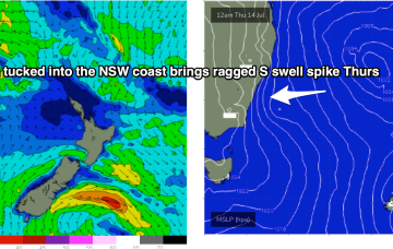
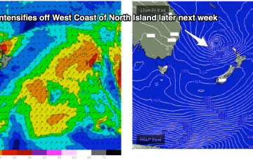
The long term outlook is suggesting a deep polar low will push under Tasmania, driving a powerful front into the Tasman Sea and generating a very larger sustained southerly groundswell event.
Pristine days with light W’ly winds for the most part lay ahead. The tropical low over the North Island has rotated out of the swell window, dissipating quickly as it did so. We’ve still got some fun E’ly quadrant swell inbound from that source before a period of quiet surf becomes established over the weekend.
We’ve got a nice chunky 1033 hPa High slow moving at very southerly latitude, roughly triangulated between Tasmania and the South Island. As well as a precursor SE fetch adjacent to the South Island it is now squeezing pressure gradients with a compact, but deep low, which is currently forming gale force fetches out of Cook Strait and just north of the North Island.

