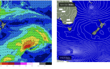
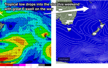
First, from the west as a trough/low tied to the Southern and Indian Oceans moves through WA and SA and then from the East as a tropical low drifts into the slot from behind New Caledonia this weekend. That spells a lot of surf ahead.
Primary tabs
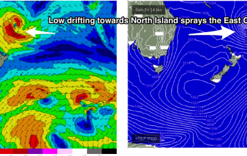
A trough of low pressure has drifted south-westwards from the South Pacific into the area west of the North Island and looks a touch healthier than it did during Friday.
This is maintaining the ridge of high pressure along most of the East Coast, with a slight and slow easing of pressure gradients expected over the weekend. An active Monsoon Trough lays across the North of the Continent extending out into the Coral Sea.
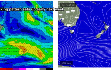
A classic Summer blocking pattern is now setting up with a slow moving high drifting well south of Victoria and a series of troughs interacting with a strong high pressure ridge which has reached Central NSW and is now building into more sub-tropical regions.
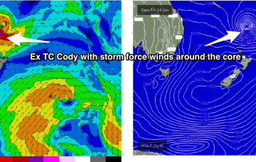
Ex TC Cody slipped behind the North Island late this weekend and is now slowly drying up as a swell source. Due to the slow moving nature of the system as it approached the North Island there’s still some more solid surf to come, with a final pulse of E/SE swell expected Wed.
The low (Ex TC Cody) is drifting slowly south-southeastwards towards the North Island with an extensive swath of storm force (50knot) winds along the south-western flank. These storm forces winds are embedded in an expansive gale force wind field.
Current ASCAT (satellite windspeed) passes show a healthy fetch of E’ly winds flanking TC Cody as drifts south/south-east of the area between Fiji and New Caledonia towards the North Island.
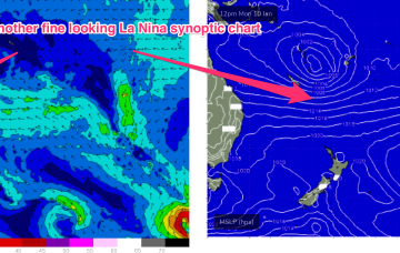
Our current synoptic pattern is typical of the season and the La Nina end of the ENSO cycle. High pressure straddles New Zealand and a tropical low now drifting south from between Fiji and Vanuatu.
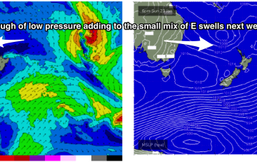
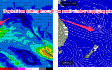
By Tues the wave climate will come more under the direct influence of the tropics, with a broad Tradewinds band being accelerated by a tropical low drifting South from area between Fiji and Vanuatu.
The sub-tropical high pressure belt also extends Eastwards of New Zealand and the cradling effect of this belt along the low pressure zone is expected to create a long fetch of enhanced Tradewinds during next week.

