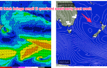
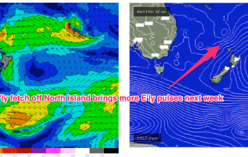
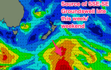
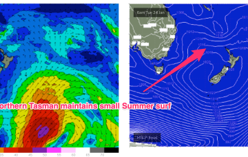
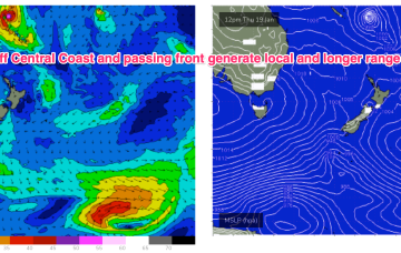
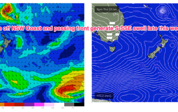
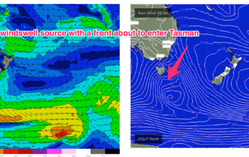
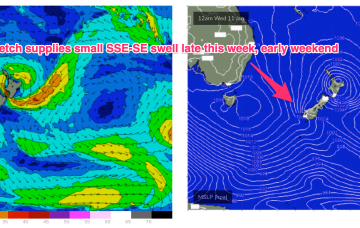
Weak high pressure is rapidly moving SE into the Tasman in the wake of yesterdays trough, which has stalled just north of the Hunter coast. E’ly fetches are still bubbling away near the North Island with more small E quadrant swell expected over the short/medium term. A long range, rare SSE-SE groundswell is just starting to show on Tasmanian buoys.
Primary tabs
The synoptic pattern over and surrounding Australia still has a clear La Niña signature with troughy low pressure areas in the Tasman Sea and an active monsoon trough across Northern Australia. High pressure on the other side of New Zealand is cradling areas of low pressure and maintaining a small, fun E swell signal.
A troughy pattern exists through the Northern Tasman down to the South Coast with the remnants of TC 10P (named by JTWC but remained a cyclone for less than a day) drifting in a SW direction from out near New Caledonia. A small low pressure cell near the South Coast is slowly drifting south leaving a variable flow in it’s wake across the f/cast region.
No great change to the weekend f/cast. The remnants of yesterdays troughy change are now lingering off the NSW North Coast and a weak high pressure ridge is maintaining a soft but persistent onshore flow along the Eastern Seaboard. Activity in the tropics has been intense but short-lived with TC Irene forming between New Caledonia and Vanuatu, now downgraded back to sub-tropical storm status and racing away to the SE (the grave-yard) without being a significant swell producer for the East Coast.
Weak high pressure sits in the Tasman now, directing freshening NE winds across the Central/Southern NSW Coast as a trough and front approach from the W and SW. The trough will bring a robust S’ly change to the NSW Coast through Thurs, extending up into the sub-tropics during Fri. S’ly winds and swell quickly build in the wake of the trough.
We’re in a bit of Groundhog Day pattern with another weak high moving into the Tasman, directing onshore winds across the Eastern Seaboard. These winds are tending NE through temperate NSW, more E’ly in the sub-tropics. This weak onshore flow will see continuing small, Summer slop until a S’ly change later in the week brings a new S-SSE swell pulse.
We’ve got a weak, blocking pattern with high pressure (1025 hPa) right smack bang in the middle of the Tasman directing an onshore flow along the Eastern Seaboard. NE across Temperate NSW and SE-E in the sub-tropics. Warm SST (sea surface temperatures) are helping morning land breeze development so conditions should be relatively clean through the early sessions.
An insipid Summer blocking pattern is now setting up as a weak high (1019 hPa) moves East of Tasmania and becomes semi-stationary in the Central/Lower Tasman. That will see a short/medium term pattern of onshore winds and small summer slop becoming established.
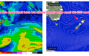
We currently have a weak, troughy pattern in the Tasman Sea, with continuing instability across the tropics in the wake of an active, monsoon pattern. High pressure is expected to drift south of Tasmania this week, with a typical Summer NE wind pattern becoming established. Remnants of low pressure near New Zealand are offering up minor fetches out of Cook Strait (currently) and near the South Island which will supply a few small pulses of swell this week.
Generally speaking the leftover E’ly flow in the South Pacific looks weaker than modelled and thus residual E’ly swell will likely fade in the mix faster than Wed’s notes suggested.

