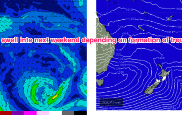
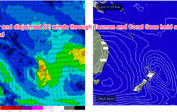
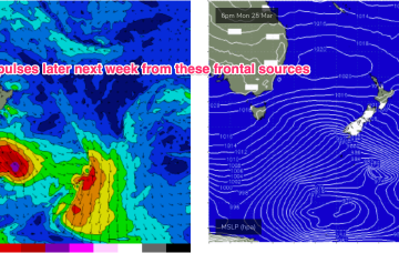
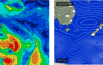
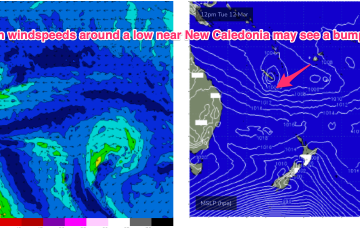
Only minor action from the E is expected from a northwards positioned SE flow in the Coral Sea. Adding to that source south of the border we’ll see some small S’ly pulses over the Easter long weekend.
Primary tabs
The swell regime for the next few days throughout SE Qld will remain small out of the east with just enough size for small runners on the semi-exposed points.
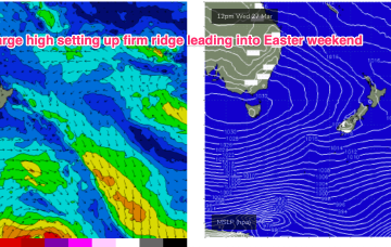
We’ve got an extensive high pressure belt with weak cells in the Tasman and near Indian Ocean and a stronger cell in the Bight. Compared to summer high pressure we’re seeing a slight seasonal shift northwards in the belt although later in the week the strong high in the Bight does move towards Tasmania at a more typical summer latitude.
Light winds continue into Mon and likely until Wed as the as the W-E progression of the next high cell (and subsequently fronts) slows and allows more intrusion of the S’ly fronts into the lower Tasman. S swells from frontal activity now look a notch more active next week, especially at S facing beaches in NENSW.
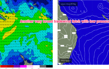
The NZ high and a long monsoon trough has generated a useful fetch of tradewinds in the eastern swell window, which has maintained E’ly swells in the sub-tropics, E/NE in temperate regions.
Pretty typical late Summer pattern with a high in the Tasman and a maturing trade-wind flow in the Coral Sea, linked to an active monsoon trough with a small embedded low in the Coral Sea. There is a tropical cyclone in the Gulf of Carpentaria which formed over the weekend but this system is expected to track inland over the NT and Kimberley regions and not be a swell source for the East Coast.
We’re between easterly pulses at the moment and the void will be temporarily filled by short/mid range energy trading today’s change.
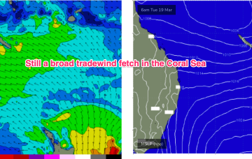
We’ve still got a broad trade wind flow in the Coral Sea, extending out into the South Pacific and anchored head and tail by low pressure along the monsoon trough. That’s producing heavy swells in the sub-tropics (full blown Point surf equivalent to cyclone swells) although we’ll now see a slow easing trend into the end of the week.
Our current swell event is a byproduct of a strong trade flow through the Northern Tasman and lower Coral Sea, extending back into the South Pacific.
There was a nice, lingering tail to the S swell event but we’re now entrenched in a classic late Summer pattern with strong high pressure moving into the Tasman, setting up a downstream blocking pattern and very healthy tradewind fetch through the Coral Sea, extending E into the South Pacific and south into the Northern Tasman.

