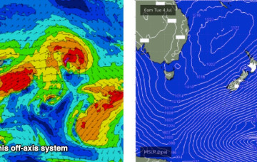
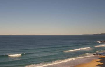
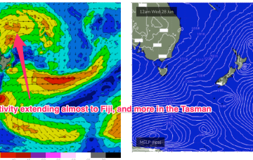
Blocking high pressure in the Central Tasman has a ridge up the QLD Coast, with weak pressure gradients across NSW leading to pre-frontal N-NW winds. Not much surf on offer either day.
Primary tabs
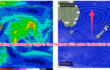
Cold fronts have passed through the Tasman and the high pressure will now exert a blocking effect, steering fronts well away from the swell window or ensuring a zonal (W-E) flow through the end of the week and into the weekend.
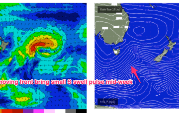
Another week begins with a classic winter El Niño pattern. High pressure over the continent with a W’ly flow being enhanced by a series of mobile fronts and parent lows, sending small S swell pulses our way.
We’re still on track for basically offshore winds all weekend as high pressure to the north and a series of fronts to the south bring the W’ly belt across the Southern half of the maritime continent.
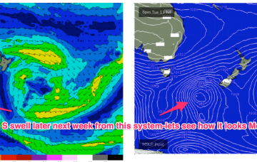
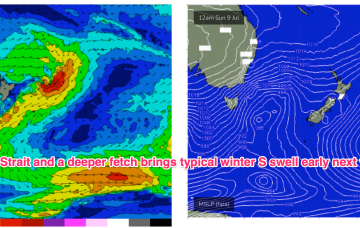
A more typical winter pattern which we saw in June is set to return, with high pressure over the continent ridging against frontal activity with a W’ly flow extending right up to the sub-tropics. Residual S/SE groundswell pulses from the off axis fetch as it drifted slowly SE of the South Island will put a floor under wave heights before we see a fresh round of S swell early next week.
The Long Wave Trough responsible for our current southerly swell regime is exiting New Zealand longitudes, though we’re still seeing strong polar activity off the ice shelf.
Strong overlapping south swells remain on the menu for the next three or four days, thanks to a series of powerful fronts sliding around an amplifying long wave trough over New Zealand longitudes.
Monster high pressure approaching WA longitudes, high pressure over the NE of he country and Coral Sea and a series of cold fronts penetrating well into sub-tropical latitudes. A massive NW cloud band is drawing moisture in from the Indian Ocean and Arafura Sea via inland troughs.
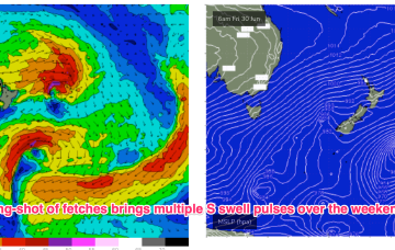
High pressure sitting up at sub-tropical latitudes is allowing a very active series of fronts to penetrate NE into the Tasman Sea. A very slow moving monster high tracking into WA longitudes is anchoring a sustained SW flow as the fronts ride up it’s extended flank from the Southern Ocean into the Tasman. We’ll see multiple S swell pulses from this set-up, becoming stronger over the weekend.
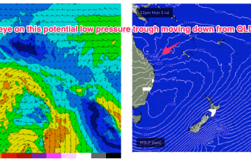
High pressure over the continent and off the QLD Coast is still supplying ridging which is now being strengthened by the next series of troughs and fronts. That will see another episode of W’ly quarter winds over the weekend, with patches of NW winds embedded in the flow.

