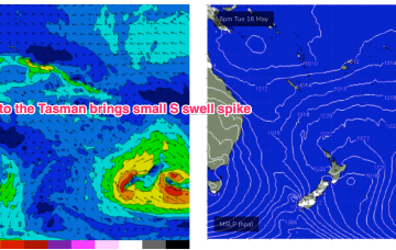
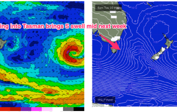
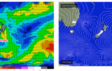
Very wintry looking synoptic chart as we exit autumn with a large high moving in over the continent with active cold fronts tied to low pressure systems tracking into the Tasman Sea. That pattern will extend through most of the week before a high cell drops into the Tasman Friday, with stronger frontal activity expected over the weekend and into next week.
Primary tabs
The expected Tasman low forming in the wake of todays front really falls apart, forming instead a raggedy low pressure trough which moves away quickly to the NE overnight and into Sat.
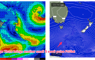
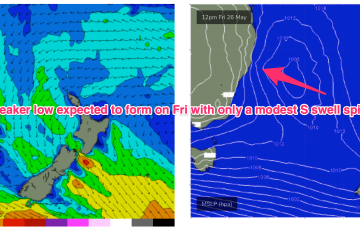
As we come to the end of another active Autumn we’ve got a typical looking winter synoptic pattern with a dominant high drifting over NSW bringing settled conditions with a very active Southern Ocean storm track spawning a strong cold front which will impact the state on Thurs. The front and an upper low are expected to form a surface low Fri off the Central NSW Coast. Compared to Mon’s notes this low is now expected to be weaker and much faster moving bringing a smaller, faster up and down in S swell.
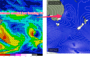
Late this week, likely Fri, we’ll see a cold front and upper trough combine to form another deep, coastal low possibly with gales to strong gales. Compared to the last system that generated XL surf in Sydney, this low is positioned slightly further north and moves away quicker, suggesting sizey surf but smaller than the last event.
We’re expecting a nice little upgrade for the weekend, Sat especially, with our Tasman low stalling and deepening over the last 24-36hrs, slightly further away from NZ than modelled. That’s allowed E’ly quarter low end gales to develop in our swell window, even if aimed more directly further South.
A small low formed off a coastal trough close to the QLD/NSW border yesterday and is now drifting close to Lord Howe Island, continuing to move SE-E/SE towards New Zealand. A tight pressure gradient between the low and a dual-centred high moving through the Bight is creating low end gales and strong winds on the SW flank of the low and generating S’ly swells up the Eastern seaboard, favouring NSW for most size.
The front interacts with the trough to form a surface low off the North Coast but consistent with Fridays notes the surface low is expected to rapidly move away towards New Zealand later Wed into Thurs, with only a short spike in swell expected for temperate NSW.
Leftover S/SE-SE swell from the last stages of the fetch as it lingered in the Eastern Tasman abutting New Zealand should hold some 3ft sets through most of the day, albeit slow and inconsistent.
The strong reinforcing cold front is now almost across the Tasman with a large (1031hPa) high moving across from the Bight and already setting up a ridge along the QLD Coast. High pressure moves into the Tasman as we end the week with a dominant role into next week before a front and possible low brings another strong S’ly surge with an accompanying S swell.
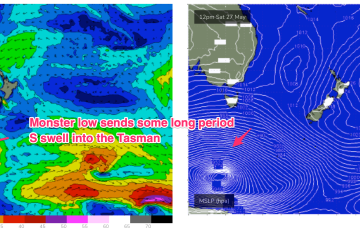
The combintion of a 996 hPa low just off the coast and a 1034 hPa high in the Bight is creating a very tight pressure gradient with subsequent severe gales and an XL S swell event. The primary focus of this swell is temperate NSW inside the Hunter curve, with other areas seeing much less swell.

