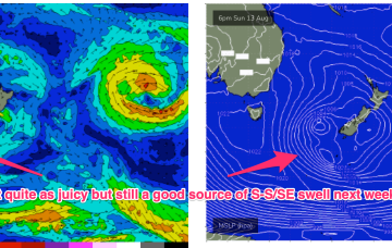
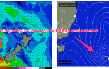
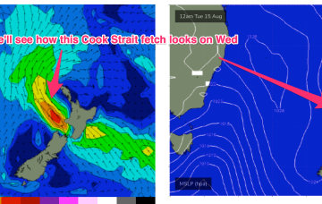
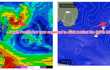
As mentioned on Wed the weekend’s front forms a low which looks to stall in the central/eastern Tasman Sun/Mon, and possibly linger near the South Island after that. The fetch now, isn’t quite so well aimed back at the East Coast but we’re still on track for a nice pulse of S-S/SE swell.
Primary tabs
A stronger frontal system now looks likely to be a bit delayed but stall nicely in the Eastern Tasman early next week and supply some useful S/SE swell.
A persistent tradewind fetch is in the process of resetting with a less favourable wind alignment and easing swells. No major swell sources on the radar so lets look at a few bits and pieces on offer this week.
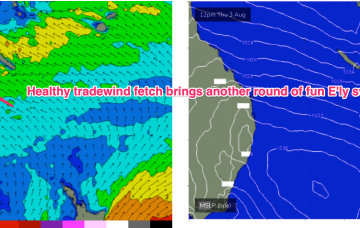
Current ASCAT (satellite windspeed) passes show a very healthy fetch of SE-E/SE tradewinds extending through the Central/Southern Coral Seas with plenty of fun E’ly tradewind swell expected over the weekend.
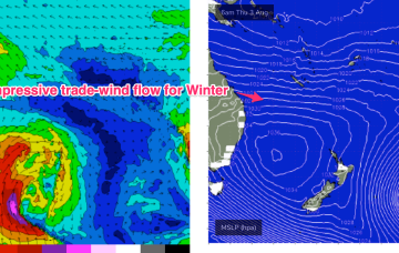
In the wake of a strong front earlier this week we have still have moderate S swell trains propagating through the Tasman Sea which will be one swell source through the short term. The bifurcation between the sub-tropics and temperate regions increases through the end of the week with NE windswell in the temperate areas and E’ly tradewind swells building in the sub-tropics.
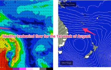
Once the dominant high enters the Tasman on Wed we’ll see a SE’ly to E'ly tradewind pattern start to establish through the Coral Sea, more typical of Summer, likely extending into the weekend with plenty of workable tradewind swell associated with it.
A trough and cold front are being rapidly shunted southwards by a blocking high which is moving NE into the sub-tropical Tasman and weakening. The current swell sources are slowly drying up leaving us with small background swells for the weekend.
We’ve still got a massive high pressure system (1037 hPa) moving over inland NSW, slowly weakening as it enters the Tasman Sea through tomorrow and over the weekend. The ridge up along the sub-tropical coast will break down as it does so. A powerful front has passed through the Tasman, creating a pulse of long period S’ly groundswell.
We’ve got a monster high pressure (1037 hPa) sitting on the edge of the Bight and moving slowly eastwards, maintaining a firm ridge up most of the Eastern Seaboard. A pair of coastal troughs which were expected to form a large area of low pressure off the Capricorn Coast are weakening and moving northwards through the near term.
Fridays S’ly change is linked to a robust front (and long angular trough of low pressure in the Tasman) and the northwards intrusion into the Tasman will bring plenty of directional S swell- up into the 4-5ft range at S facing beaches in NENSW, smaller 2ft in SEQLD.

