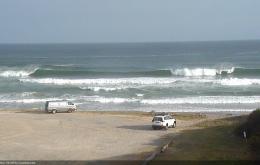
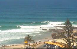
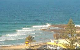
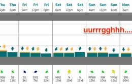
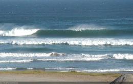
It’s a tricky week ahead for surf forecasting purposes, but there is one underlying theme that will unite us for the next five days. Northerly winds.
Primary tabs
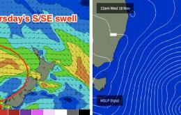
The current S/SE groundswell moving across Northern NSW is still showing strongly across Southern NSW, which lends credibility to the prospects of some decent leftover energy for Saturday morning - at least in the Far North.
The fetch responsible for our current swell event has largely exited the swell window, so we’re looking at a slow but steady easing trend from Thursday onwards.
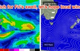
Essentially, the E/NE swell from the Coral Sea trough/depression has been pushed back a half to one day or so.
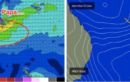
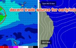
At the same time, the Coral Sea trough will have slid southwards, developing an impressive easterly fetch between the mainland and New Caledonia. This fetch is expected to reach maturity around Monday but will weaken only slowly as it continues south of Byron latitudes into Tuesday and Wednesday.
In any case it’s looking like the first decent pre-season swell in quite some time for SE Qld, with great surf likely along the points, as long as the winds swing in our favour.
There’s a fair push of south swell on the way and we’re looking at a few days of very good waves across Northern NSW.
Yes, we're staring down the barrel (or lack of barrels, thereof) towards another weekend with small swells and northerly winds.
There's not a lot of love on the way for the next few days.
We’ve got lots of south swell on the way for early next week.


