/reports/forecaster-notes/south-east-queensland-northern-new-south-wales/2016/09/19/small-southerly
thermalben
Monday, 19 September 2016
I’m doubtful that we’ll see much, if any size across SE Qld again thanks to the unfavourable swell source.
/reports/forecaster-notes/south-east-queensland-northern-new-south-wales/2016/09/16/extended-period
thermalben
Friday, 16 September 2016
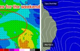
The weekend still looks pretty unexciting.
/reports/forecaster-notes/south-east-queensland-northern-new-south-wales/2016/09/14/better-winds
thermalben
Wednesday, 14 September 2016
We’ve had an improvement in the outlook for Friday.
/reports/forecaster-notes/south-east-queensland-northern-new-south-wales/2016/09/12/poor-week-waves
thermalben
Monday, 12 September 2016
We can begin with a couple of broad, sweeping statements for the short term forecast period.
/reports/forecaster-notes/south-east-queensland-northern-new-south-wales/2016/09/09/poor-waves
thermalben
Friday, 9 September 2016
Saturday looks terrible. Sunday looks much better for most locations.
/reports/forecaster-notes/south-east-queensland-northern-new-south-wales/2016/09/07/building-trade
thermalben
Wednesday, 7 September 2016
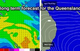
This upwards trend is expected to continue through Thursday and Friday across SE Qld and Far Northern NSW, reaching a peak late Friday afternoon.
/reports/forecaster-notes/south-east-queensland-northern-new-south-wales/2016/09/05/building-trade
thermalben
Monday, 5 September 2016
A ridge is building across the Coral Sea and it’s going to generate a small trade swell for the rest of the week.
/reports/forecaster-notes/south-east-queensland-northern-new-south-wales/2016/09/02/great-surf
thermalben
Friday, 2 September 2016
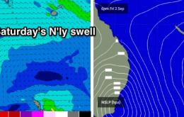
For the most part, most open beaches should have good waves on Saturday with peaky swells pushing predominantly left-handers down the coast.
/reports/forecaster-notes/south-east-queensland-northern-new-south-wales/2016/08/31/poor-finish-week
thermalben
Wednesday, 31 August 2016
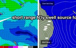
On Monday I mentioned that Saturday had some potential for a punch N’ly swell and a window of clean conditions into the afternoon. The good news is that the models have generally held this line of thinking.
/reports/forecaster-notes/south-east-queensland-northern-new-south-wales/2016/08/29/tricky-mix-swells
thermalben
Monday, 29 August 2016
As our coastline is well conditioned to peaky short range swells running almost parallel to the coast, there's a very good chance for some great waves spread out across the long stretches of beachies.

