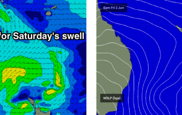
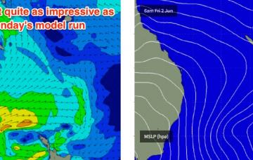
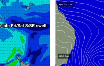
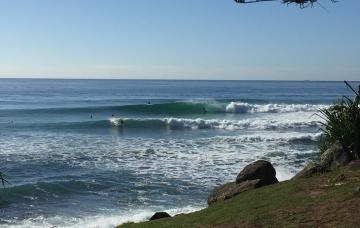
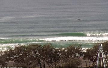
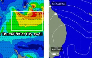
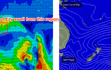
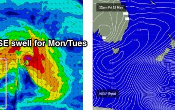
So, there’s one final pulse of south swell expected from this most recent Tasman Low, and it’ll deliver the biggest and strongest waves of the sequence.
Primary tabs
I’m now a little less keen on Saturday’s surf prospects, than I was when I issued Monday’s notes.
Friday’s late kick in large S/SE swell will peak overnight before easing steadily through Saturday, which is currently the highlight of the forecast period.
There are no new swell sources in the water for the next few days, so we can expect a continuation of this extremely inconsistent but otherwise fun E’ly swell over the weekend, sourced from a distant, retreating fetch in the South Pacific south of Fiji earlier in the week.
Friday is much better all round as the new E’ly swell is expected to coincide with a relaxation of the coastal pressure gradient and thus light variable winds and sea breezes.
Southern NSW has retained plenty of size all day so we should be looking at some solid waves for the early session on Tuesday though a gradual easing trend is expected throughout the day.
Lots of swell for the next week ahead.
We’re still looking at the same broad synoptic pattern but the particulars have changed; most notably the strength and consolidation (or lack thereof) of an E’ly fetch through the lower Coral Sea.
The models are suggesting a late season tropical low will form in the Coral Sea this weekend.
Sunday just became a little more complex within the model guidance.

