/reports/forecaster-notes/sydney-hunter-illawarra/2017/05/24/small-swells-tasman-then-south-pacific
thermalben
Wednesday, 24 May 2017
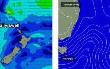
There's nothing of any great interest for the next few days.
/reports/forecaster-notes/sydney-hunter-illawarra/2017/05/22/easing-se-swell-tuesday-small-ene-swell
thermalben
Monday, 22 May 2017
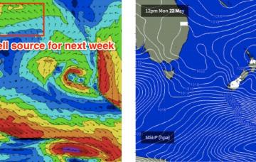
And this forms the crux for the initial short term forecasting decision - how much size will hold true overnight?
/reports/forecaster-notes/sydney-hunter-illawarra/2017/05/19/stacks-swell-ahead-generally-favourable
thermalben
Friday, 19 May 2017
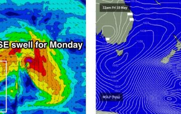
Yep, we’ve still got a cracking S/SE thru’ SE groundswell on the way for Monday.
/reports/forecaster-notes/sydney-hunter-illawarra/2017/05/17/stacks-swell-ahead-sydney-surfers
thermalben
Wednesday, 17 May 2017
Sunday looks better on the surface and although swell potential is mixed, we should see some fun waves.
/reports/forecaster-notes/sydney-hunter-illawarra/2017/05/15/small-southerly-swells-week-tricky
thermalben
Monday, 15 May 2017
My hopes for a decent pulse from this developing Tasman Low have been dashed.
/reports/forecaster-notes/sydney-hunter-illawarra/2017/05/12/small-weekend-ahead-complex-synoptics
thermalben
Friday, 12 May 2017
Well, it’s taken a few more days than that but we do have a complex, existing synoptic chart appearing next week.
/reports/forecaster-notes/sydney-hunter-illawarra/2017/05/10/fun-beachbreak-conditions-next-few-days
thermalben
Wednesday, 10 May 2017
The Tasman Low responsible for the last few days of southerly swell is still positioned nicely within our SE swell window.
/reports/forecaster-notes/sydney-hunter-illawarra/2017/05/08/strong-south-swell-sydney-plus-rare
thermalben
Monday, 8 May 2017
Today's new south swell has built a little more slowly than Friday’s notes anticipated, but I’m not revising my forecast size from this event.
/reports/forecaster-notes/sydney-hunter-illawarra/2017/05/05/small-weekend-south-swell-strong-sly
thermalben
Friday, 5 May 2017
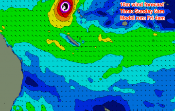
We’ve shifted from a scenario on Wednesday where TC Donna was expected to remain completely outside of our swell window (Wednesday night's model run) due to the swell shadow afforded by New Caledonia, to a situation where it's now a possible swell generator for many parts of the East Coast (Friday morning's run).
/reports/forecaster-notes/sydney-hunter-illawarra/2017/05/03/plenty-swell-ahead-solid-early-mid-next
thermalben
Wednesday, 3 May 2017
Light variable winds are expected on Friday so this is certainly the pick of the short term forecast period.

