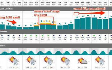
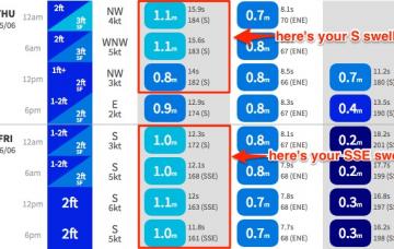
The current S/SE groundswell will ease through the weekend, so you’ll have to be up early to make the most of the leftovers.
Primary tabs
We have a tricky couple of days ahead.
The final low in the sequence is tracking below Tasmania today and it's a little better positioned, and should provide a late kick on Wednesday afternoon across south facing beaches.
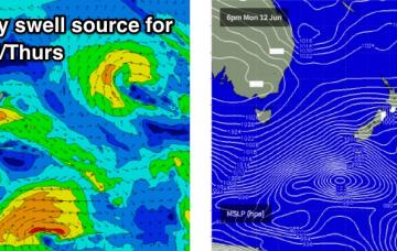
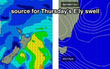
This is our current source of easterly swell for the region, so as it exits our swell window we’ll see a gradual easing of the source fetch and thus a slow drop in surf size.
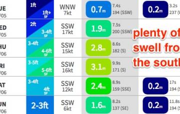
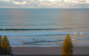
I’m kinda surprised we haven’t seen more size across Sydney beaches today. If you’d looked at today’s buoy readings in a few months time, and then been asked to estimate how big the surf was - with significant heights over 4m and maximum heights of 8m - I reckon you’d guess a lot bigger than 3-4ft at south facing beaches.
We have an active week on the synoptic charts.
Next week's forecast has thrown a range of curveballs over the last few days.
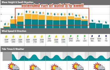
The weekend’s easing trend now looks like it’ll occur more slowly than previously though, though it’ll be steadily down nonetheless.
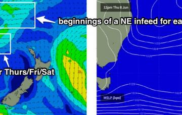
Let’s take a closer look on Wednesday to assess the chance of their being periods of good winds on Thursday and Friday to capitalise on.
Only small surf this weekend, though conditions should be clean with mainly light winds.

