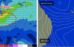
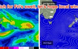
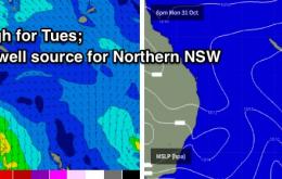
Essentially, the E/NE swell from the Coral Sea trough/depression has been pushed back a half to one day or so.
Primary tabs
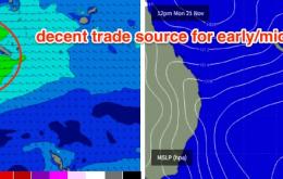
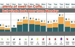
At the same time, the Coral Sea trough will have slid southwards, developing an impressive easterly fetch between the mainland and New Caledonia. This fetch is expected to reach maturity around Monday but will weaken only slowly as it continues south of Byron latitudes into Tuesday and Wednesday.
In any case it’s looking like the first decent pre-season swell in quite some time for SE Qld, with great surf likely along the points, as long as the winds swing in our favour.
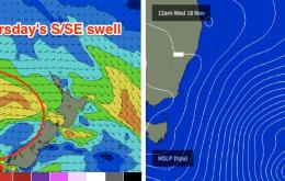
There’s a fair push of south swell on the way and we’re looking at a few days of very good waves across Northern NSW.
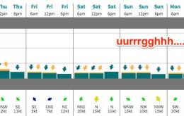
Yes, we're staring down the barrel (or lack of barrels, thereof) towards another weekend with small swells and northerly winds.
There's not a lot of love on the way for the next few days.
We’ve got lots of south swell on the way for early next week.
This change will be associated with a strong cold front that’s expected to enter the lower Tasman Sea on Saturday morning, and it will generate a strong south swell for Northern NSW on Sunday.
So, a couple of curveballs already this week. And it’s resulted in an upgrade for Thursday across Northern NSW (though only the morning).
A southerly swell is building across Southern NSW this afternoon, and it’s expected to reach most Northern NSW locations overnight and into Tuesday morning. I

