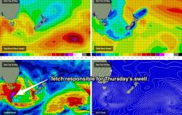
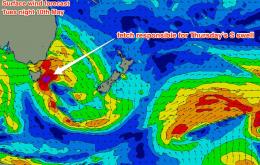
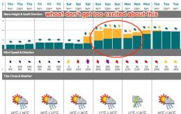
The front crossing the coast overnight Tuesday is associated with a deep mid-latitude low tracking just south of Tasmania, and will be followed by a couple of secondary fronts, each of which will generate varying degrees of southerly swell for the latter part of the week.
Primary tabs
A strong front will push through the southern Tasman Sea overnight on Wednesday, setting up a sustained south-west tending southerly fetch at gale to storm force, off the southern NSW coast.
Looks like more of the same for the next few days.
I’d book in some flexi time if you can for Friday, as the second half of the weekend outlook is a little concerning.
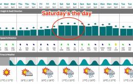
Looks like a fun weekend of waves. But make the most of Saturday as Sunday will see a small drop in size, and more concerningly (for SE Qld surfers) winds are expected to pick up from the north.
We’ve still got a strong ridge anchored through the South Pacific and into the Coral Sea, which is generating mid-range trade swell for the region.
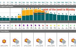
We’ve got a whole week of trade swell ahead.
Sunday is still the pick of the weekend.
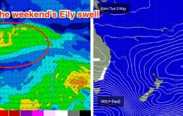
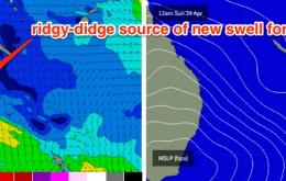
This swell will be greatly overshadowed by a much more prominent short range swell, courtesy of a strong ridge building across the Qld coast on Saturday.
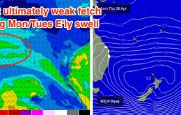
Well, last Friday’s optimism for a fresh E swell off a building coastal trough this week have been diminished.

