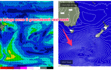
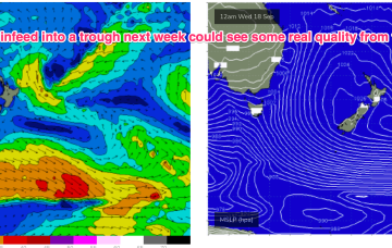
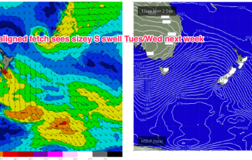
Model divergence reduces confidence in the outlook with GFS suggesting the trough deepens into a broad surface low which would bring days of elevated S through SE-E/SE swell and onshore winds.
Primary tabs
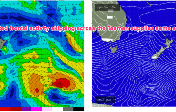
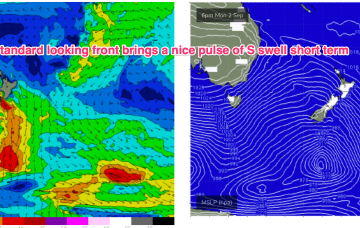
Frontal activity is going to generate some small S pulses in the short term with some fun waves on tap at S facing beaches. Next week we should see a stronger system move NE into the Tasman potentially generating some sizier S swell. Quite a decent outlook for September.
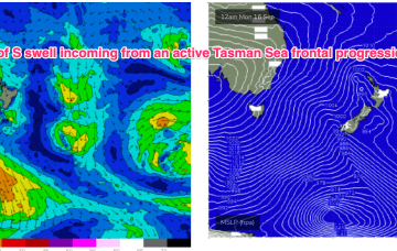
After a spell of early spring heat the synoptic pattern has reversed back to a more winter style situation with frontal activity pushing into the Tasman, backed by a strong high (1040hPa) in the Bight. We’ll see this high rapidly weaken and move up over NSW and into the Tasman this week while zonal fronts continue westerly ridging below Tasmania and bring mostly offshore winds to temperate NSW.
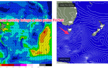
We have a follow-up front and trough expected to push into the Tasman later Sat, this time backed by a monster high (1042 hPa) in the Bight. Steep pressure gradients will create near gales to gales in a proximate S’ly fetch and whip up plenty of sizey S swell.
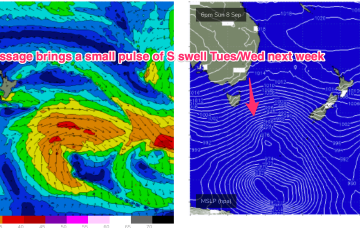
We’ll see a spike of S swell from this system, downgraded from Mon. A following front and trough now looks stronger, earning an upgrade. More S swell into the middle of next week from polar activity tracking NE with good winds expected.
Thursday looks like a dynamic day. A trough deepens and inflames a strong S’ly flow along the NSW coast, extending into the Tasman.
Models are still struggling to resolve this trough but there are reasonable grounds to suggest the trough may deepen and form a surface low in the Tasman late next week.
Once that high moves offshore we’ll see N’lies kick in for the rest of the week with only a weak trough expected to interrupt that pattern. No major swells on the radar through the short or medium term.
After strong winds and unseasonal heat build ups we’ll see a more typical seasonal pattern for the short term with a high in the bight and a strong front pushing into the Tasman as a parent low slips under Tasmania.
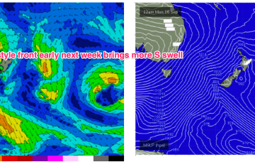
We’ll see a deep parent low finally moving below Tasmania early next week after generating multiple large swells for Victoria. As the low moves eastwards we should see a final frontal passage through Bass Strait and with a fetch SE of Tasmania, generating a sizey S swell for early next week.

