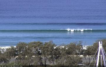
Let’s quickly summarise SE Qld for the foreseeable future: very small at best.
Primary tabs
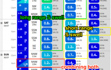
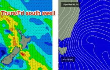
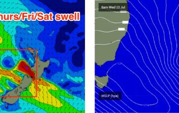
A steady undercurrent of long period southerly swell will persist through Thursday, Friday and early Saturday.
We’ve got some good waves ahead for Northern NSW, but unfortunately most of SE Qld is looking at an extended spell of small conditions, thanks to an absence of weather systems in our eastern swell window.
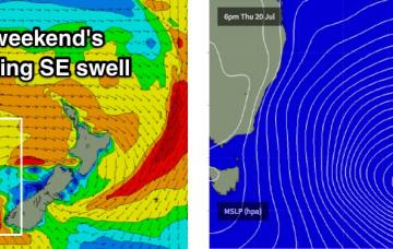
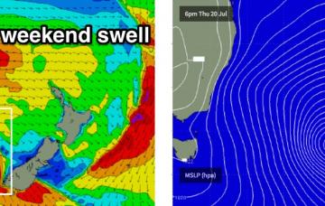
We’ve got some large, powerful waves on the way for the weekend. The only concern I have is with the timing of the initial swell front on Saturday.
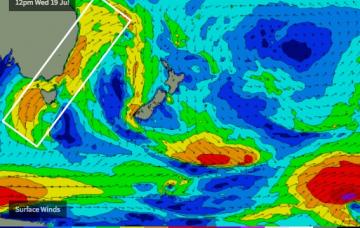
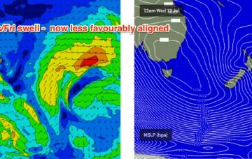
Whilst Thursday and Friday are motoring along with building S’ly swells, the primary Tasman Low - by this time just off the west coast of New Zealand’s South Island - is expected to reintensify, generating gale to storm force S thru’ S/SE winds that will kick up a large swell for Saturday.
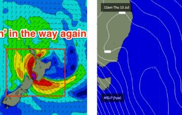
The low responsible for this swell will move towards New Zealand on Thursday and will reintensify into Friday, with gale to storm force S’ly winds generating a sideband SE swell for the NSW coast.
The first half of next week looks rather craptacular.
In general, we’ve got a low quality mixed bag for the weekend.
South from Byron, we have a couple of south swells on the way for the rest of the week.
Make the most of Saturday as we’re looking at a steady easing trend over the coming days.

