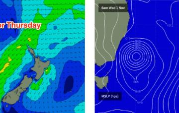
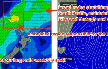
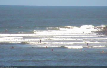
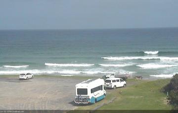
We’ve got a very complex week ahead, with around six individual swell sources - one out of the north, two out of the east and three out of the south.
Primary tabs
Prior to the development of the Tasman Low on Tuesday, we’ll see a new mid-range E’ly swell develop in our eastern swell window.
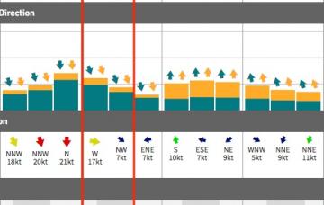
Thursday’s northerly flow should generate 2-3ft of peaky windswell for exposed locations on Friday morning.
It’s a pretty patchy forecast period ahead.
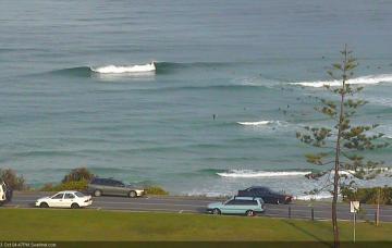
A mix of swells will keep the open beaches active through the start of next week, and relatively light variable winds should allow for clean conditions.
Saturday morning is the pick of the forecast period, for SE Qld and perhaps the Tweed and Byron coasts.
To be honest, the next two days looks like an almost carbon copy of today.
The problem with these kinds of systems is that the greater SE Qld and Far Northern NSW coasts can’t really hand this kind of size, nor the associated gale force E’ly winds.
Sunday is therefore the pick of the weekend, with this short range E/SE swell expected to reach a peak, in addition to a slowly building E’ly swell from a developing trade flow south of New Caledonia - an entirely seperate swell generating system.
The models have really anchored down this broadscale blocking pattern in the latest runs, suggesting a punchy local E'ly swell building through Monday, Tuesday and even holding into Wednesday.

