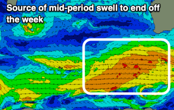
Make the most of the coming days before things slow from mid-week
Wednesday, 9 April 2025

Make the most of the coming days before things slow from mid-week
Wednesday, 9 April 2025
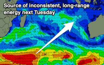
The coming days and weekend will be most active, slower from mid-next week.