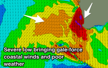
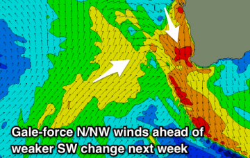
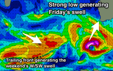
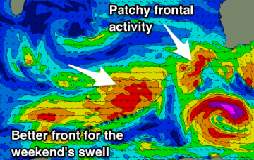
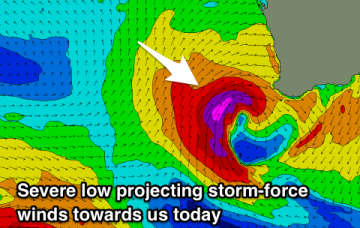
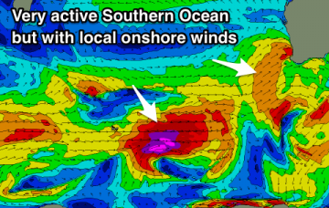
Poor conditions over the coming days with a severe and 'bombing low' due to bring gale-force onshore winds and stormy swells, possibly clean early Thursday and Friday mornings in Perth and Mandurah before going back onshore on the weekend.
Primary tabs
New pulse of SW groundswell building through tomorrow, easing Sunday with generally favourable winds, and then clean Monday morning before winds go onshore with a vigorous approaching front Tuesday.
Onshore building surf tomorrow with a mix of stronger S/SW groundswell Friday as winds improve around Mandurah and Perth (possibly the South West). Better conditions over the weekend across the South West with a good new SW groundswell.
New SW groundswell for tomorrow with a very limited window of clean conditions, less so Wednesday. Onshore Thursday and better Friday with a mix of SW swells. Building SW groundswell Saturday, peaking Sunday morning with offshore winds.
Strong to gale-force onshore winds tomorrow, easing through the day with an XL easing storm swell. Improving winds Monday and more so Tuesday but not great.
Our summer-like conditions are going to come to an abrupt end with windy stormy surf developing from Friday, persisting all weekend and Monday, cleaning up Tuesday.
Fun swells for the coming days but with poor NE-N winds and then large onshore surf developing from late week through the weekend.
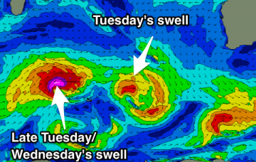
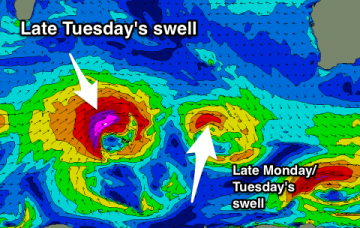
Small background swells over the weekend, with a new W/SW swell for later Monday/Tuesday morning and stronger pulse later in the day/Wednesday morning but with less than ideal winds. Large stormy surf from late next week.
Nothing of note over the coming days with good offshore winds each morning. New swells into early-mid next week as winds deteriorate.
Easing W/SW swell with an early offshore tomorrow, with small background energy for the remainder of the forecast period.

