Make the most of today, slow thereafter
Western Australia Surf Forecast by Craig Brokensha (issued Monday 14th May)
Best Days: Early Tuesday, magnets across the South West Wednesday morning, Friday morning, Sunday morning
Recap
Great waves Saturday morning with a good new W/SW groundswell to 6ft in the South West and 2ft further north with morning offshores, tending more N'th into the afternoon.
Yesterday the swell eased back with onshore winds across the South West and cleaner small waves in Perth and Mandurah.
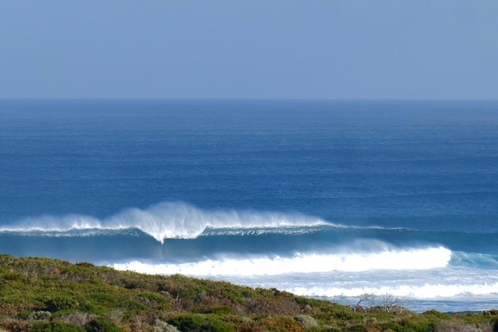
Today, our large new W/SW groundswell is filling in strongly across the state, with clean 6-8ft surf at dawn in the South West, with a further pulse to 8ft+ due through the day with 10ft cleanups more than likely. Mandurah and Perth were a small 2ft, but should kick to 3ft and 2-3ft respectively during the day.

Today’s Forecaster Notes are brought to you by Rip Curl
This week and weekend (May 15 - 20)
These notes will be brief as Ben's away on holidays.
Today's large W/SW groundswell will ease back through tomorrow from the 6ft range in the South West, 2ft+ in Mandurah and 2ft in Perth, cleanest early with a dawn E/NE offshore that will tending N/NE through the morning and persist into the afternoon.
 Wednesday looks smaller and best at northerly friendly breaks in the South West with a morning NE'ly, tending more N/NW into the afternoon.
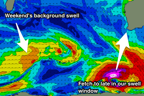
A vigorous polar low that will generate large S/SW groundswell energy to SA and Victoria will form too late in our swell window to generate any decent size.
We're looking at small background energy, with clean conditions Thursday, Friday and Saturday mornings with E/NE offshores and occasional 3ft sets across South West later Thursday and Friday morning.
The weekend doesn't hold any more hope of any decent swell will a small W/SW swell in the 3ft+ range due to build Saturday afternoon and ease Sunday, tiny to the north.
Next week also remains void of any major storm activity until Sunday the 27th, but more on this Wednesday.

