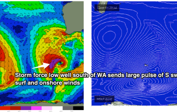
Plenty of swell this weekend with tricky winds, dicier next week as surface troughs and fronts move across us.
Primary tabs
Smaller but cleaner surf tomorrow, becoming windy again Friday with a small reinforcing swell. Larger surf on the weekend with windows.
Large windy surf for tomorrow, slowly improving while easing from mid-week. Next week looks mostly poor as the fronts move back in.
Poor surf on the weekend as onshore winds develop again with some building surf. Next week looks large and onshore, improving temporarily mid-week.
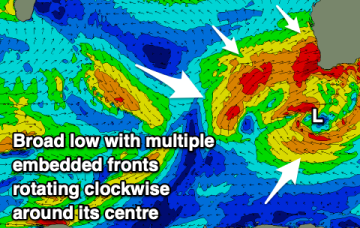
The large low pressure gyre currently impacting the state will start moving east over the coming days.
XL swells and strong to gale-force onshore winds will dominate the coming days.
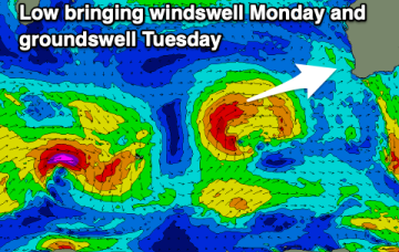
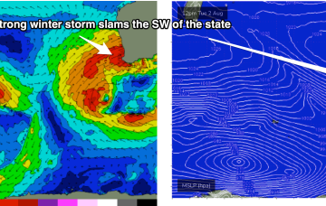
Tues and Wed will be a write-off except for the most sheltered winter Bays as a monster storm slams into WA
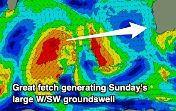
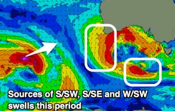
Very active Indian Ocean storm track continues with fronts and deep lows forming near Heard Island before being steered NE towards WA as decaying fronts. That's seeing multiple large swell events over the f/cast period.
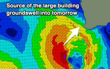
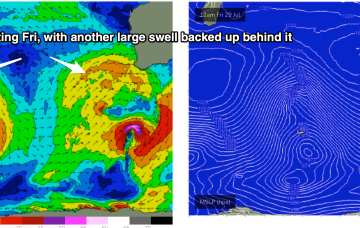
That front is tied to another deep low, driving a large area of seas between 20-30ft towards WA. Proximity equals size with another extended period of large to XL wave heights expected to build in Fri
Poor tomorrow but we should see lighter winds in Mandurah and Perth on Sunday with a new, building XL groundswell. A secondary XL swell is due next week, as winds ease and swing more offshore.

