/reports/forecaster-notes/western-australia/2019/03/04/large-swell-over-coming-days
Craig
Monday, 4 March 2019
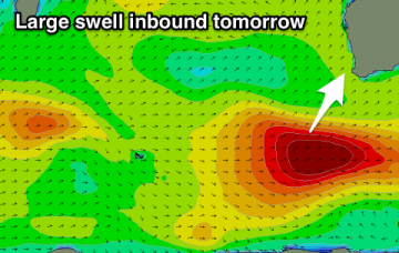
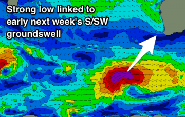
Large, long-period groundswell over the coming days with favourable winds.
/reports/forecaster-notes/western-australia/2019/03/01/good-run-swell-and-conditions-weekend
Craig
Friday, 1 March 2019
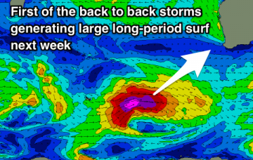
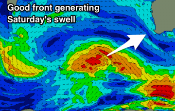
Varying pulses of swell, large early next week and with favourable winds.
/reports/forecaster-notes/western-australia/2019/02/27/much-better-outlook-ahead
Craig
Wednesday, 27 February 2019
Better winds and groundswell events from the weekend and especially into next week.
/reports/forecaster-notes/western-australia/2019/02/25/good-early-tomorrow-and-then-wait-until
Craig
Monday, 25 February 2019
Clean easing surf tomorrow then onshore and average until the weekend with a peak in new swell.
/reports/forecaster-notes/western-australia/2019/02/22/good-swell-and-winds-later-weekend-and-early
Craig
Friday, 22 February 2019
Make the most of the coming fun swells and favourable winds as the surf will go quiet through the middle of next week.
/reports/forecaster-notes/western-australia/2019/02/20/better-surf-days-come-across-all-locations
Craig
Wednesday, 20 February 2019
Average conditions with a good swell tomorrow, with a slight window Friday but better surf from Sunday with a fun W/SW swell.
/reports/forecaster-notes/western-australia/2019/02/18/good-swell-week-onshore-when-it-peaks
Craig
Monday, 18 February 2019
A pesky trough will bring onshore winds as a good new swell peaks this week, with some better potential late in the weekend and early next week.
/reports/forecaster-notes/western-australia/2019/02/15/finally-more-significant-swell-next-week
Craig
Friday, 15 February 2019
A fun small swell with clean conditions for the weekend, easing Monday. A much larger and stronger swell is due mid-late next week with good winds.
/reports/forecaster-notes/western-australia/2019/02/13/easing-surf-weekend-kicking-again-sunday
Craig
Wednesday, 13 February 2019
Average waves until the weekend when a new swell should be met with offshore winds on the swell magnets.
/reports/forecaster-notes/western-australia/2019/02/11/fun-couple-days-deteriorating-towards-weekend
Craig
Monday, 11 February 2019
Good S/SW groundswell with improving winds, worth making the most of. Average until early next week again.

