/reports/forecaster-notes/southern-tasmania/2019/07/19/clean-conditions-and-tricky-west-swells
Craig
Friday, 19 July 2019
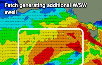
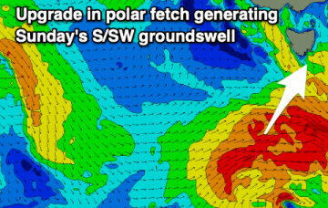
Plenty of swell inbound but with a bit of west in the direction.
/reports/forecaster-notes/southern-tasmania/2019/07/17/good-improving-waves-tomorrow-small-thereafter
Craig
Wednesday, 17 July 2019
New SW swell as conditions improve rapidly tomorrow, then a small W/SW swell to follow.
/reports/forecaster-notes/southern-tasmania/2019/07/15/mix-swells-week-some-good-days
Craig
Monday, 15 July 2019
Swells from the west and south-west with varying but generally workable winds.
/reports/forecaster-notes/southern-tasmania/2019/07/12/windy-west-swells-inbound
Craig
Friday, 12 July 2019
Plenty of swell but also plenty of wind and unfortunately swells not from the best direction.
/reports/forecaster-notes/southern-tasmania/2019/07/10/tiny-ahead-significant-swell-early-next-week
Craig
Wednesday, 10 July 2019
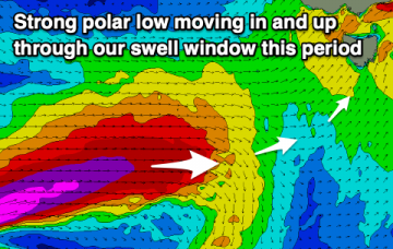
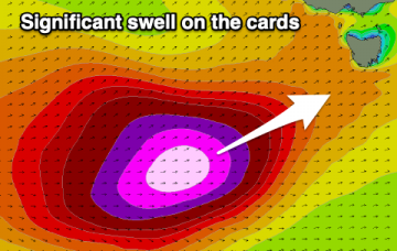
Nothing to recommend until the surf increases through the middle of the forecast period, coming in with size and power.
/reports/forecaster-notes/southern-tasmania/2019/07/08/small-sly-swell-significant-swell-cards
Craig
Monday, 8 July 2019
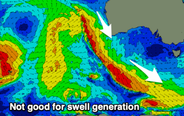
Small to tiny for the period ahead of a possible significant swell event early next week.
/reports/forecaster-notes/southern-tasmania/2019/07/05/small-s-swell-tuesday-ahead-better
Craig
Friday, 5 July 2019
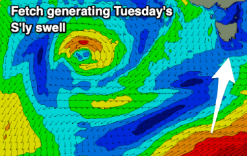
Nothing to note this period besides a small S'ly swell Tuesday. More activity from later next week.
/reports/forecaster-notes/southern-tasmania/2019/07/03/make-most-tomorrow
Craig
Wednesday, 3 July 2019
Easing surf with nothing of note until late in the period.
/reports/forecaster-notes/southern-tasmania/2019/07/01/ok-wsw-swells-and-then-slow-period
Craig
Monday, 1 July 2019
Make the most of the coming days as there's not much due from the end of the week.
/reports/forecaster-notes/southern-tasmania/2019/06/28/small-swell-weekend-better-wsw-swells-next
Craig
Friday, 28 June 2019
A tricky but fun S/SW groundswell for the weekend, followed by more reliable W/SW swells next week.

