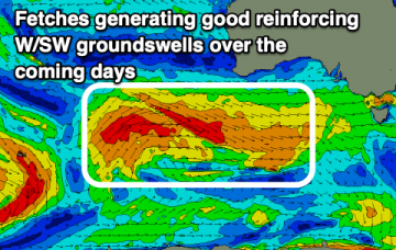
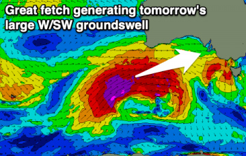
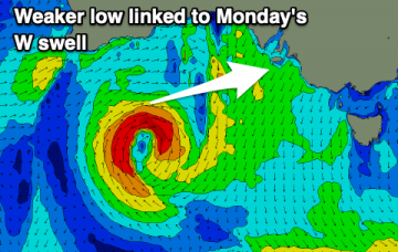
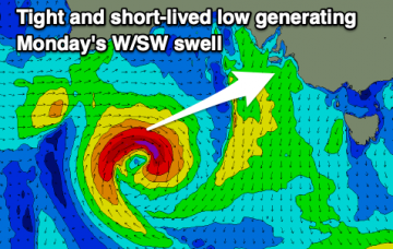
Varying winds and reinforcing W/SW-SW swells over the coming period opening up lots of options to mix up your surfing locations.
Primary tabs
A great run of swell and generally favourable winds with windows across both regions for a surf this week.
Good waves across the South Coast on the weekend, ahead of a significant W/SW groundswell next week.
Clean conditions and fun swells over the period with a significant W/SW groundswell for next week.
Improving winds and fun swells on the way for the South Coast, with a window of fun waves on the Mid Coast.
Winter conditions continue with tons of wind and lots of swell for the region, but limited quality surfing options.
A flurry of strong mid-latitude and polar fronts will bring lots of wind and surf over the coming period.
Nothing of note over the coming days ahead of a large and windy W/SW tending SW swell later week and into the weekend. Large surf again early next week.
Generally clean conditions on the weekend but no decent size. Similar early next week ahead of larger windier surf developing late next week.
Improving conditions down South as the swell eases, small but fun on the weekend. Slow period until later next week.

