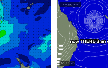
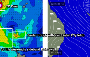
It’s hard to stay focused on the short term when there’s a major cyclone event looking for the Coral Sea. So try not to get distracted by the synoptics for the next few days.
Primary tabs
There’s some pretty exciting model progs for the Coral Sea and South Pacific next week. More in the Forecaster Notes.
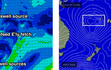
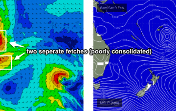
Some of the forecast charts are very impressive for the weekend, with a broadening ridge through the Tasman Sea combining with a widespread trough of low pressure to the north to create a large, strong SE fetch aimed into the Coral Sea.
The synoptics are incredibly complex at the moment.
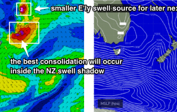
Despite looking amazing on the synoptic chart, potential wave heights are likely to be considerably smaller compared to what we'd expect from a broad, consolidated, slow moving system of about the same size. More in the Forecaster Notes.
The South Pacific synoptic charts look very juicy as a strong passage of intense tropical storms push southwards through the waters between Samoa and Fiji, enroute to New Zealand.
There should be fun, workable options at most coasts this weekend. And the long term outlook is particularly juicy. More in the Forecaster Notes.
I gotta admit, I’m a little concerned by the slow upwards trend in easterly swell.
The weekend looks potentially very fun at this stage as we finally see a return to typical summer winds and swells.
The weekend looks pretty poor for surfers of all persuasions. But, there's stacks of swell sources on the charts for the long term. More in the Forecaster Notes.

