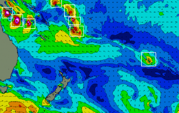
We're in the midst of a particularly active period, especially for those surfers north of the border.
Primary tabs
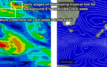
It’s likely we’re going to see at least one or two Tropical Cyclones, possibly more, and based on current model guidance, one of ‘em could potentially be Cat 4 or Cat 5.
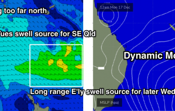
We have plenty of new E’ly swell on the way. More in the Forecaster Notes.
We’ve got some fun swell inbound for the Xmas period.
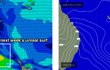
We’ve got some great waves in store for next week.
A series of troughs will create flukey, but generally average waves to finish the week. This is a shame as we have some fun swell on the way.
The strengthening trough off the Fraser Coast reached maturity today and will slowly weaken from this evening onwards. It’ll still linger in some way shape or form through Wednesday afternoon, which means rideable surf from this neck of the woods until Thursday or early Friday at least, albeit with a slow and steady downwards trend in the size department.
The forecast charts look impressive with lots of sizeable swell from the NE, but in general it’s all just locally generated windswell.
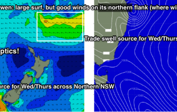
The synoptic charts are about as complex as they can get.
Before we get into the main synoptic even of the forecast period - a large, slow moving trough over the eastern states - it’s worth pointing out that a small low will form in the central/southern Tasman Sea on Tuesday.


