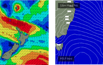
A weakening trough moving up the NSW coast will peter out across the Northern Rivers on Saturday morning.
Primary tabs
Looks like broad brushstrokes can be used to outline the next few days
Under the influence of the high pressure belt it’ll be a week of SE to E/SE’ly winds and a small blend of E’ly tradewind swell trains.
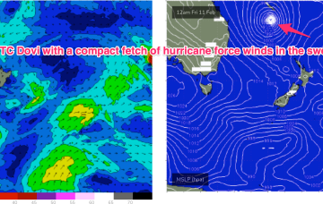
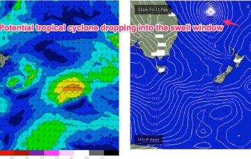
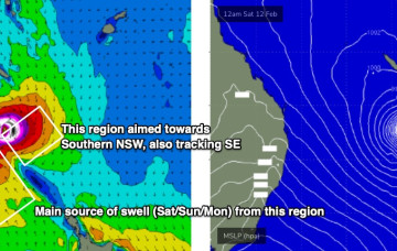
The headline news is TC Dovi, which formed north-east of New Caledonia Wed a’noon and is moving SW at about 12 knots inside the Coral Sea. At 5am this morning TC Dovi was about 730 nautical miles E/NE of the Queensland border. That puts it in our swell window and although Dovi is currently Cat 3 it’s surf potential is limited by the compact fetch and expected increased speed of movement over the next 24 hrs.
A building trend will be in place Sat, primarily from the ridge that develops between a strong high and the cyclone/low as it begins the journey south.
A broad region of low pressure in the central/northeastern Tasman Sea is maintaining easterly thru’ south-easterly gales (via two seperate fetches) aimed mainly towards Southern NSW, but a healthy percentage is pushing SE energy up into Northern NSW.
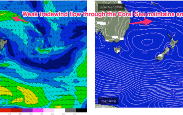
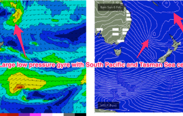
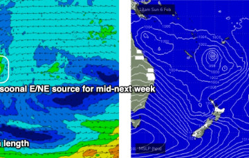
A strong monsoonal surge pushing off the tropics into the Coral Sea is super-charged by the vorticity created by the monster high pressure ridge. Models now seem in broad agreement that a large, dual-centred, low pressure gyre forms across the Coral Sea/South Pacific and into the North Tasman Sea.
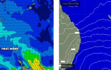
The main feature of the forecast period of a gusty southerly change that’s already arrived in Southern NSW, and will push across the Mid North Coast overnight, reaching Far Northern NSW mid-late morning and the Gold Coast around lunchtime.
This extended run of quality point break surf means there's a chance for the crowds to spread out over the course of the week which, combined with a consistent, super-charged trade swell event, should allow a (relatively) healthy wave count for all and sundry.
The charts will show a low pressure system tracking in from the South Pacific with a very healthy fetch between the low and a supporting high straddling New Zealand over Sun into Mon.

